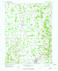
1961 Map of Osgood
USGS Topo · Published 1963About this map
The town of Osgood serves as a focal point in this 1961 revision, situated where the Baltimore and Ohio railroad corridor intersects a grid of rural routes. The landscape transition from the Decatur and Ripley County line through several townships reveals a pattern of community life anchored by country churches and cemeteries. Settlements such as Napoleon and the small locality of Jericho are linked by the historic Michigan Road and a network of named tracks like Brownstown Road.
Find a feature on this map
48 named features on this map. Tap any name to fly to it.
Don’t see what you’re looking for? This feature index may not catch every label — zoom into the map to look around manually.
Map Details
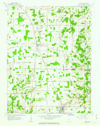
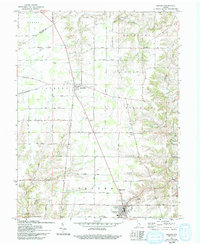
Editions of this 1961 Osgood Map
3 editions found
Other maps of this area

1946 · Versailles
USGS Topo · 1:24,000

1946 · Milan
USGS Topo · 1:24,000

1946 · Pierceville
USGS Topo · 1:24,000

1946 · Batesville
USGS Topo · 1:24,000

1946 · Osgood
USGS Topo · 1:24,000

1946 · New Point
USGS Topo · 1:24,000

1953 · Cincinnati
USGS Topo · 1:250,000

1957 · Cincinnati
USGS Topo · 1:250,000

1958 · Greensburg
USGS Topo · 1:24,000

1958 · Millhousen
USGS Topo · 1:24,000