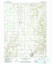
1961 Map of Osgood
USGS Topo · Published 1993About this map
Napoleon and Osgood anchor this portion of Ripley County, where the landscape is defined by the winding course of Laughery Creek and its many tributaries, including Jericho Creek and Plum Creek. The mapping reveals a rural infrastructure built around local institutions, featuring numerous country burial grounds such as Salem Cem and Beochet Cem, alongside community centers like Finke Church.
Find a feature on this map
32 named features on this map. Tap any name to fly to it.
Don’t see what you’re looking for? This feature index may not catch every label — zoom into the map to look around manually.
Map Details
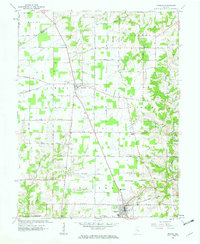
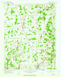
Editions of this 1961 Osgood Map
3 editions found
Other maps of this area

1946 · Versailles
USGS Topo · 1:24,000

1946 · Milan
USGS Topo · 1:24,000

1946 · Pierceville
USGS Topo · 1:24,000

1946 · Batesville
USGS Topo · 1:24,000

1946 · Osgood
USGS Topo · 1:24,000

1946 · New Point
USGS Topo · 1:24,000

1953 · Cincinnati
USGS Topo · 1:250,000

1957 · Cincinnati
USGS Topo · 1:250,000

1958 · Greensburg
USGS Topo · 1:24,000

1958 · Millhousen
USGS Topo · 1:24,000