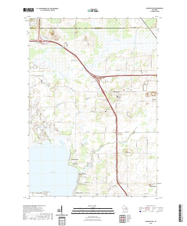
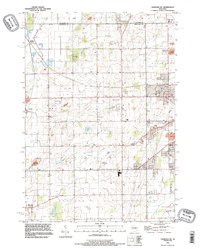
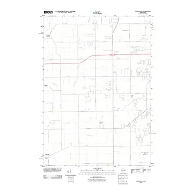
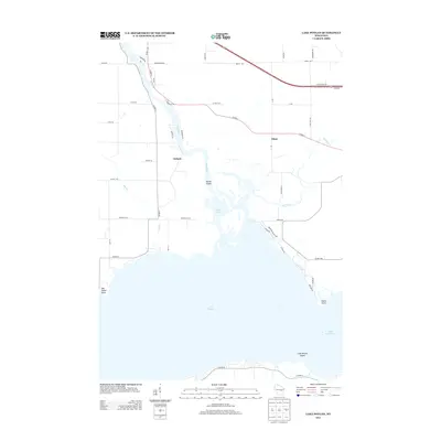
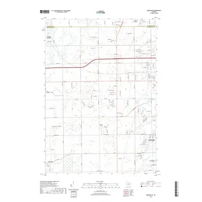
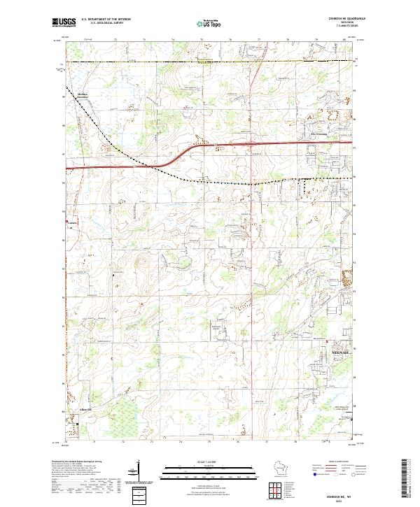
2022 Map of Oshkosh NW
USGS Topo · Published 2022About this map
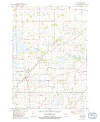
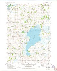
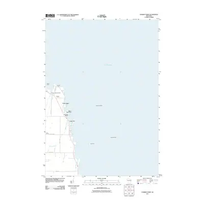
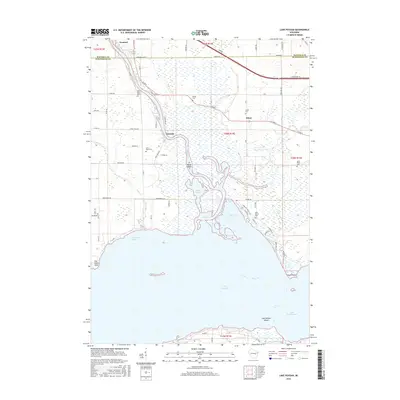
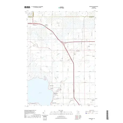
Lake Winneconne and its northern shoreline anchor this landscape, where the Arrowhead River and Rat River flow through the low-lying wetlands of Winnebago County. The settlement patterns reflect a blend of lakeside communities like Indian Shores, Clarks Point, and Lasleys Point alongside established inland hamlets. Local genealogy is well-represented by several distinct burial sites, including Saint Johannes Cem, Saint Peters Cem, and the Winchester Cem. The area around Winchester and Larsen shows a transition from agricultural fields to more modern infrastructure, including the Larson Airport. County boundaries for Waupaca, Outagamie, and Winnebago converge in the north, illustrating the jurisdictional meeting point near Co Rd MM and Bison Rd.
Find a feature on this map
93 named features on this map. Tap any name to fly to it.
Don’t see what you’re looking for? This feature index may not catch every label — zoom into the map to look around manually.
Map Details
Editions of this 2022 Oshkosh NW Map
This is the sole edition of this map. No revisions or reprints were ever made.
Historical Maps of Dale Through Time
45 maps found
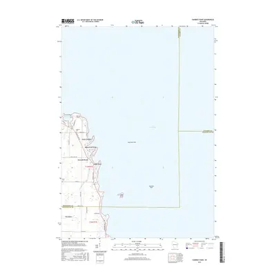
1961 Lake Poygan
Winnebago County, WI
1961 Oshkosh NE
Winnebago County, WI
1961 Oshkosh NW
Winnebago County, WI
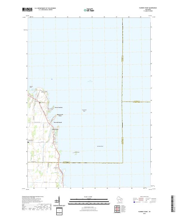
1974 Fahrney Point
Winnebago County, WI
1974 Indian Point
Winnebago County, WI
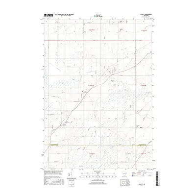
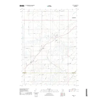
1980 Pickett
Winnebago County, WI
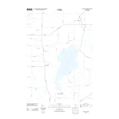
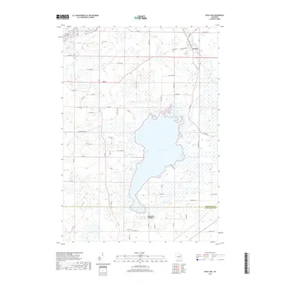
1980 Rush Lake
Winnebago County, WI
1992 Fahrney Point
Winnebago County, WI
1992 Indian Point
Winnebago County, WI
1992 Oshkosh NE
Winnebago County, WI
2010 Lake Poygan
Winnebago County, WI
2010 Oshkosh NE
Winnebago County, WI
2010 Oshkosh NW
Winnebago County, WI
2010 Pickett
Winnebago County, WI
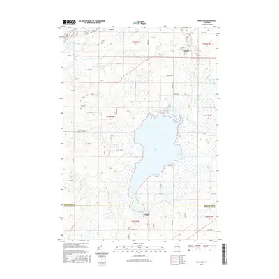
2010 Rush Lake
Winnebago County, WI
2011 Fahrney Point
Winnebago County, WI
2011 Indian Point
Winnebago County, WI
2013 Fahrney Point
Winnebago County, WI
2013 Indian Point
Winnebago County, WI
2013 Lake Poygan
Winnebago County, WI
2013 Oshkosh NE
Winnebago County, WI
2013 Oshkosh NW
Winnebago County, WI
2013 Pickett
Winnebago County, WI
2013 Rush Lake
Winnebago County, WI
2015 Fahrney Point
Winnebago County, WI
2015 Pickett
Winnebago County, WI
2015 Rush Lake
Winnebago County, WI
2016 Indian Point
Winnebago County, WI
2016 Lake Poygan
Winnebago County, WI
2016 Oshkosh NE
Winnebago County, WI
2016 Oshkosh NW
Winnebago County, WI
2018 Fahrney Point
Winnebago County, WI
2018 Indian Point
Winnebago County, WI
2018 Lake Poygan
Winnebago County, WI
2018 Oshkosh NE
Winnebago County, WI
2018 Oshkosh NW
Winnebago County, WI
2018 Pickett
Winnebago County, WI
2018 Rush Lake
Winnebago County, WI
2022 Fahrney Point
Winnebago County, WI
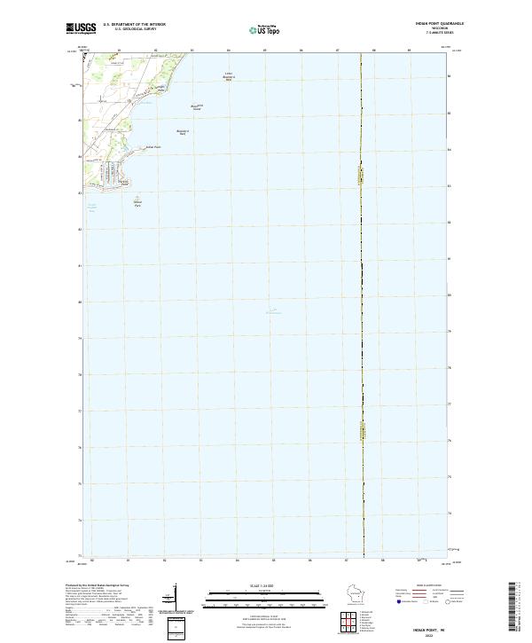
2022 Indian Point
Winnebago County, WI
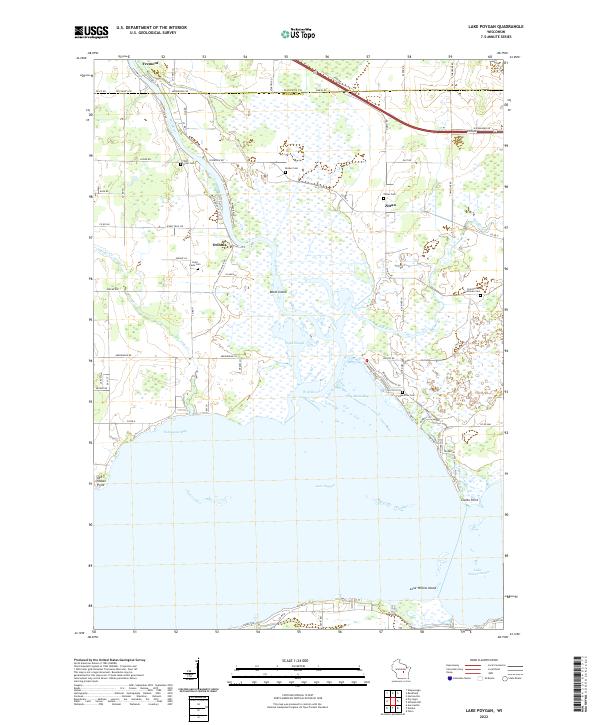
2022 Lake Poygan
Winnebago County, WI
2022 Oshkosh NE
Winnebago County, WI
2022 Oshkosh NW
Winnebago County, WI
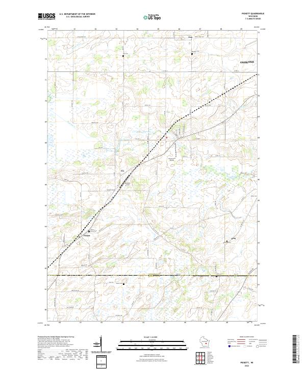
2022 Pickett
Winnebago County, WI
2022 Rush Lake
Winnebago County, WI