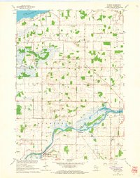
1961 Map of Eureka
USGS Topo · Published 1966About this map
Eureka sits at a prominent bend in the Fox River in this 1960s snapshot of Winnebago County. The landscape is defined by the river’s winding course, which creates features like Island Park and the marshy expanses of Hogers Bayou. To the north, the shoreline of Lake Poygan marks the edge of the survey area. The map reveals a densely organized rural community, evidenced by a high concentration of local schools and churches serving the surrounding townships of Poygan, Winneconne, and Rushford.
Find a feature on this map
30 named features on this map. Tap any name to fly to it.
Don’t see what you’re looking for? This feature index may not catch every label — zoom into the map to look around manually.
Map Details
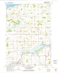
Editions of this 1961 Eureka Map
2 editions found
Other maps of this area

1916 · Ripon
USGS Topo · 1:48,000

1918 · Ripon
USGS Topo · 1:62,500

1955 · Green Bay
USGS Topo · 1:250,000

1956 · Ripon
USGS Topo · 1:62,500

1956 · Rosendale
USGS Topo · 1:62,500

1957 · Madison
USGS Topo · 1:250,000

1960 · Madison
USGS Topo · 1:250,000

1961 · Poy Sippi
USGS Topo · 1:62,500

1961 · Oshkosh
USGS Topo · 1:62,500

1961 · Lake Poygan
USGS Topo · 1:24,000