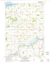
1961 Map of Eureka
USGS Topo · Published 1976About this map
The Fox River carves a winding path through this mid-century landscape, defined by its wetland margins and small agricultural settlements. The community of Eureka sits along the southern bank, while the northern reaches of the map are dominated by the expanse of Lake Poygan and the marshy inlets of Hogers Bayou. This survey documents a quiet rural network of schools and churches, such as Liberty Sch and the St Thomas Ch, which served the farming families across Poygan and Rushford townships. Notable topographical features include several flowing wells and the wooded relief of Island Park, set against a backdrop of numerous gravel pits and quarries that speak to the local geology. Genealogists will find particular value in the clearly marked family and community burial grounds, including Forest Grove Cem and the Burdick Cem.
Find a feature on this map
29 named features on this map. Tap any name to fly to it.
Don’t see what you’re looking for? This feature index may not catch every label — zoom into the map to look around manually.
Map Details
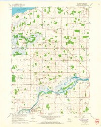
Editions of this 1961 Eureka Map
2 editions found
Other maps of this area

1916 · Ripon
USGS Topo · 1:48,000

1918 · Ripon
USGS Topo · 1:62,500

1955 · Green Bay
USGS Topo · 1:250,000

1956 · Ripon
USGS Topo · 1:62,500

1956 · Rosendale
USGS Topo · 1:62,500

1957 · Madison
USGS Topo · 1:250,000

1960 · Madison
USGS Topo · 1:250,000

1961 · Poy Sippi
USGS Topo · 1:62,500

1961 · Oshkosh
USGS Topo · 1:62,500

1961 · Lake Poygan
USGS Topo · 1:24,000