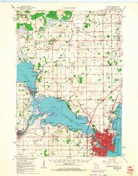
1961 Map of Oshkosh
USGS Topo · Published 1963About this map
The city of Oshkosh anchors this 1961 survey, a period when the Fox Valley's institutional and industrial presence was firmly established. The map highlights significant regional landmarks such as Wisconsin State College, Mercy Hospital, and Sunny View Sanatorium, alongside the sprawling grounds of the Winnebago State Hospital on the shore of Winnebago Lake. This mid-century view captures the transition from dense urban centers to the expanding residential developments at Melrose Park and Highland Shore.
Find a feature on this map
94 named features on this map. Tap any name to fly to it.
Don’t see what you’re looking for? This feature index may not catch every label — zoom into the map to look around manually.
Map Details
Editions of this 1961 Oshkosh Map
2 editions found

Other maps of this area
1910 · Fond du Lac
USGS Topo · 1:62,500
1911 · Neenah
USGS Topo · 1:62,500
1916 · Ripon
USGS Topo · 1:48,000
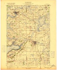
1918 · Ripon
USGS Topo · 1:62,500
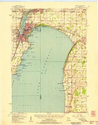
1955 · Neenah
USGS Topo · 1:62,500
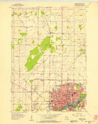
1955 · Appleton
USGS Topo · 1:24,000
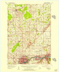
1955 · Appleton
USGS Topo · 1:62,500
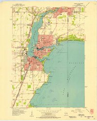
1955 · Neenah
USGS Topo · 1:24,000
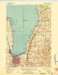
1955 · Fond Du Lac
USGS Topo · 1:62,500

1955 · Green Bay
USGS Topo · 1:250,000