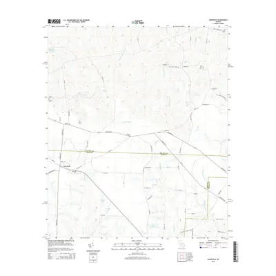
2014 Map of Osierfield
USGS Topo · Published 2014About this map
Osierfield serves as the primary focal point of this South Georgia landscape, situated at the junction of the Douglas Hwy and Broxton Hwy. This 2014 survey documents a territory defined by its agricultural layout and small, family-associated landmarks. Numerous cemeteries, such as Osierfield Cem, McMillan Cem, and Dicksons Cem, are distributed across the countryside, reflecting the area's established family history and local genealogy.
Find a feature on this map
72 named features on this map. Tap any name to fly to it.
Don’t see what you’re looking for? This feature index may not catch every label — zoom into the map to look around manually.
Map Details
Editions of this 2014 Osierfield Map
This is the sole edition of this map. No revisions or reprints were ever made.
Other maps of this area

1953 · Waycross
USGS Topo · 1:250,000

1958 · Waycross
USGS Topo · 1:250,000

1972 · Broxton North
USGS Topo · 1:24,000

1972 · Jacksonville
USGS Topo · 1:24,000

1972 · Fitzgerald East
USGS Topo · 1:24,000

1972 · Ambrose
USGS Topo · 1:24,000

1972 · China Hill
USGS Topo · 1:24,000

1972 · Ocilla East
USGS Topo · 1:24,000

1972 · Queensland
USGS Topo · 1:24,000

1977 · Osierfield
USGS Topo · 1:24,000