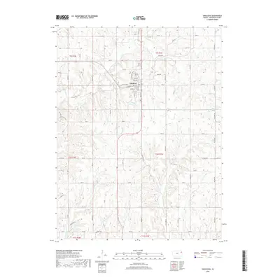
2018 Map of Oskaloosa
USGS Topo · Published 2018About this map
Oskaloosa serves as the central hub of this Jefferson County landscape, where the street grid is clearly defined by historical thoroughfares like Kansas St, Jefferson St, and Washington St. The surrounding countryside is heavily dissected by an intricate drainage system including Slough Cr, Buck Cr, and the winding path of Stone House Cr. This network of waterways influenced the placement of early rural infrastructure and roads that follow the section lines of the Public Land Survey System.
Find a feature on this map
68 named features on this map. Tap any name to fly to it.
Don’t see what you’re looking for? This feature index may not catch every label — zoom into the map to look around manually.
Map Details
Editions of this 2018 Oskaloosa Map
This is the sole edition of this map. No revisions or reprints were ever made.
Other maps of this area

1886 · Oskaloosa
USGS Topo · 1:125,000

1888 · Oskaloosa
USGS Topo · 1:125,000

1894 · Oskaloosa
USGS Topo · 1:125,000

1949 · Williamstown
USGS Topo · 1:24,000

1949 · Perry
USGS Topo · 1:24,000

1950 · Perry
USGS Topo · 1:24,000

1950 · Kansas City
USGS Topo · 1:250,000

1950 · Williamstown
USGS Topo · 1:24,000
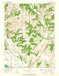
1950 · Midland
USGS Topo · 1:24,000

1950 · Mc Louth
USGS Topo · 1:24,000