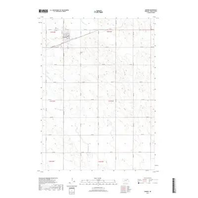
2017 Map of Osmond
USGS Topo · Published 2017About this map
Osmond serves as the central hub of this Pierce County landscape, situated at the intersection of a sprawling rural road network and the upper reaches of the N Fork Elkhorn River. The town's grid is well-defined by streets such as N Main St and Front St, with several community landmarks marking its northern perimeter. Genealogists will find particular value in the proximity of Saint Marys Cem and Immanuel Cem, located just outside the main residential blocks.
Find a feature on this map
39 named features on this map. Tap any name to fly to it.
Don’t see what you’re looking for? This feature index may not catch every label — zoom into the map to look around manually.
Map Details
Editions of this 2017 Osmond Map
This is the sole edition of this map. No revisions or reprints were ever made.
Other maps of this area
1955 · Sioux City
USGS Topo · 1:250,000
1958 · Sioux City
USGS Topo · 1:250,000
1959 · Sioux City
USGS Topo · 1:250,000
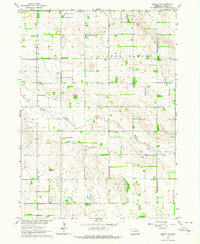
1963 · Pierce NW
USGS Topo · 1:24,000
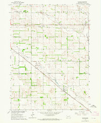
1963 · Foster
USGS Topo · 1:24,000
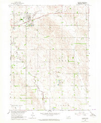
1963 · Osmond
USGS Topo · 1:24,000
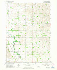
1963 · Wee Town
USGS Topo · 1:24,000
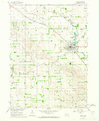
1963 · Pierce
USGS Topo · 1:24,000
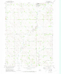
1971 · Wausa
USGS Topo · 1:24,000
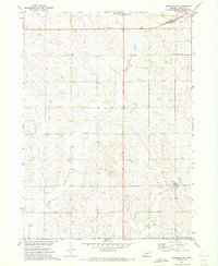
1971 · Randolph SW
USGS Topo · 1:24,000