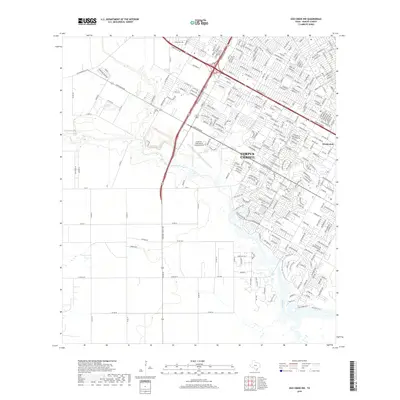
2019 Map of Oso Creek NW
USGS Topo · Published 2019About this map
Corpus Christi expands across the northern and eastern portions of this map, reflecting a landscape of modern residential growth and military aviation history. The presence of Cabaniss Field Naval Outlying Field stands as a significant landmark, anchoring the area's defense-related geography south of the city's main corridors. This transition from suburban density to rural ranching is traced along the winding course of Oso Creek and Oso Cr, which bisect the terrain.
Find a feature on this map
283 named features on this map. Tap any name to fly to it.
Don’t see what you’re looking for? This feature index may not catch every label — zoom into the map to look around manually.
Map Details
Editions of this 2019 Oso Creek NW Map
This is the sole edition of this map. No revisions or reprints were ever made.
Other maps of this area

1924 · Petronilla
USGS Topo · 1:62,500

1925 · Robstown
USGS Topo · 1:62,500

1925 · Oso Creek
USGS Topo · 1:62,500

1925 · Corpus Christi
USGS Topo · 1:62,500

1950 · Corpus Christi
USGS Topo · 1:250,000

1951 · Portland
USGS Topo · 1:24,000

1951 · Corpus Christi
USGS Topo · 1:24,000

1951 · Corpus Christi
USGS Topo · 1:62,500

1951 · Oso Creek NW
USGS Topo · 1:24,000

1951 · Oso Creek NE
USGS Topo · 1:24,000