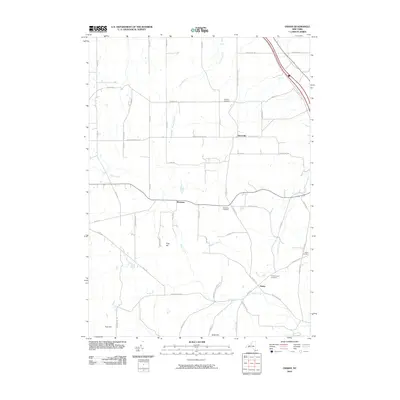
2010 Map of Ossian
USGS Topo · Published 2010About this map
Byersville and Westview sit within a landscape defined by the branching tributaries of Sugar Creek and Bradner Creek. This early 21st-century documentation of Livingston County highlights a rural network of named hills and family-centered landmarks, such as Frog Hill and Scott Hill. Local genealogy is well-served by the clear marking of several burial grounds, including the Ossian Center Cemetery and Oaklawn Cemetery, which provide geographical anchors for the area's long-established residents. The mapping of small settlements like Ossian and the intricate grid of rural roads like Rock Spring Hill Rd and Nunda-Byersville Rd illustrates the persistent agrarian character of this Western New York region, where topographic elevation remains a primary influence on the placement of roads and homesteads.
Find a feature on this map
58 named features on this map. Tap any name to fly to it.
Don’t see what you’re looking for? This feature index may not catch every label — zoom into the map to look around manually.
Map Details
Editions of this 2010 Ossian Map
This is the sole edition of this map. No revisions or reprints were ever made.
Other maps of this area

1902 · Wayland
USGS Topo · 1:62,500

1904 · Wayland
USGS Topo · 1:62,500

1905 · Nunda
USGS Topo · 1:62,500

1915 · Hornell
USGS Topo · 1:62,500

1916 · Canaseraga
USGS Topo · 1:62,500

1918 · Hornell
USGS Topo · 1:62,500

1940 · Canaseraga
USGS Topo · 1:62,500

1942 · Dansville
USGS Topo · 1:31,680

1942 · Conesus
USGS Topo · 1:31,680

1943 · Mount Morris
USGS Topo · 1:24,000