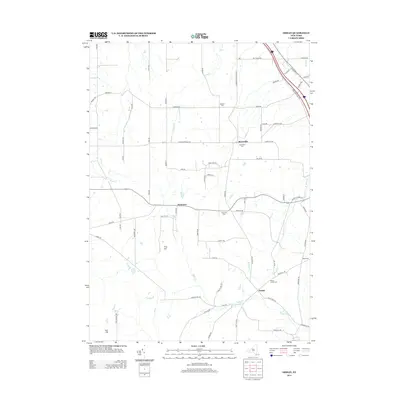
2013 Map of Ossian
USGS Topo · Published 2013About this map
Ossian and the nearby hamlets of Westview and Byersville define this rural landscape in Livingston County, New York. The 2013 topography reveals a network of country roads named for local families, including Moore Rd, Phillips Hill Rd, and Runyon Rd, which snake through the upland terrain between Frog Hill and East Hill. Genealogists will find several burial grounds across the quadrangle, such as Ossian Center Cem and Oaklawn Cem, often situated near the small clusters of development. The drainage of Sugar Cr and Bradner Cr carves the valley floor, supporting the agricultural character of the region. This modern survey reflects the enduring rural structure of the township, where small cemeteries and named hills remain the primary landmarks amidst a patchwork of farms and wooded hillsides.
Find a feature on this map
76 named features on this map. Tap any name to fly to it.
Don’t see what you’re looking for? This feature index may not catch every label — zoom into the map to look around manually.
Map Details
Editions of this 2013 Ossian Map
This is the sole edition of this map. No revisions or reprints were ever made.
Other maps of this area

1902 · Wayland
USGS Topo · 1:62,500

1904 · Wayland
USGS Topo · 1:62,500

1905 · Nunda
USGS Topo · 1:62,500

1915 · Hornell
USGS Topo · 1:62,500

1916 · Canaseraga
USGS Topo · 1:62,500

1918 · Hornell
USGS Topo · 1:62,500

1940 · Canaseraga
USGS Topo · 1:62,500

1942 · Dansville
USGS Topo · 1:31,680

1942 · Conesus
USGS Topo · 1:31,680

1943 · Mount Morris
USGS Topo · 1:24,000