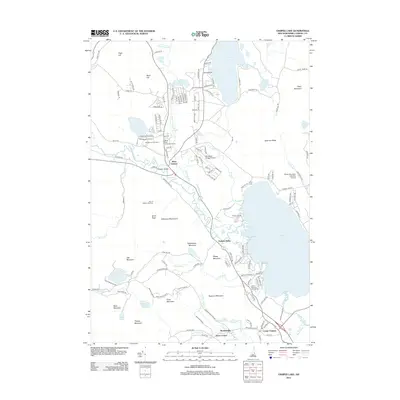
2012 Map of Ossipee Lake
USGS Topo · Published 2012About this map
Ossipee Lake serves as the central focal point for this Carroll County landscape, where the Bearcamp River, Lovell River, and Chocorua River all converge. The settlement pattern follows the contours of the water and the valley, with West Ossipee situated near the historic Whittier Bridge and Center Ossipee anchoring the southeastern corner. The map reflects a region heavily defined by recreation and seasonal tourism, evidenced by numerous lakeside installations like Camp Cody, Camp Calumet, and the White Lake Camping Ground.
Find a feature on this map
142 named features on this map. Tap any name to fly to it.
Don’t see what you’re looking for? This feature index may not catch every label — zoom into the map to look around manually.
Map Details
Editions of this 2012 Ossipee Lake Map
This is the sole edition of this map. No revisions or reprints were ever made.
Other maps of this area

1909 · Winnepesaukee
USGS Topo · 1:62,500

1928 · Wolfeboro
USGS Topo · 1:62,500

1930 · Ossipee Lake
USGS Topo · 1:62,500

1931 · Mt. Chocorua
USGS Topo · 1:62,500

1949 · Portland
USGS Topo · 1:250,000

1956 · Winnipesaukee
USGS Topo · 1:62,500

1956 · Portland
USGS Topo · 1:250,000

1958 · Ossipee Lake
USGS Topo · 1:62,500

1958 · Wolfeboro
USGS Topo · 1:62,500

1958 · Mt. Chocorua
USGS Topo · 1:62,500