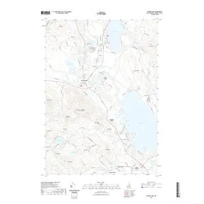
2021 Map of Ossipee Lake
USGS Topo · Published 2021About this map
Ossipee Lake and the winding Bearcamp River anchor this detailed study of the Carroll County landscape. The map highlights the transition from the peaks of the Ossipee Mountains and Nickerson Mountains down to the low-lying wetlands and valley floor. Historic river crossings are noted, including the landmark Whittier Bridge near the junction of the Chocorua River and the Bearcamp.
Find a feature on this map
123 named features on this map. Tap any name to fly to it.
Don’t see what you’re looking for? This feature index may not catch every label — zoom into the map to look around manually.
Map Details
Editions of this 2021 Ossipee Lake Map
This is the sole edition of this map. No revisions or reprints were ever made.
Other maps of this area

1909 · Winnepesaukee
USGS Topo · 1:62,500

1928 · Wolfeboro
USGS Topo · 1:62,500

1930 · Ossipee Lake
USGS Topo · 1:62,500

1931 · Mt. Chocorua
USGS Topo · 1:62,500

1949 · Portland
USGS Topo · 1:250,000

1956 · Winnipesaukee
USGS Topo · 1:62,500

1956 · Portland
USGS Topo · 1:250,000

1958 · Ossipee Lake
USGS Topo · 1:62,500

1958 · Wolfeboro
USGS Topo · 1:62,500

1958 · Mt. Chocorua
USGS Topo · 1:62,500