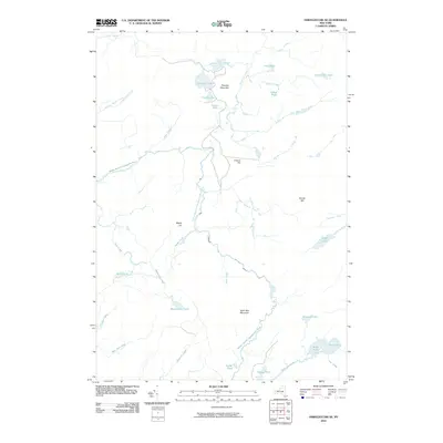
2010 Map of Oswegatchie SE
USGS Topo · Published 2010About this map
The Middle Branch Oswegatchie River winds through this Adirondack landscape, defining a region characterized by its intricate network of glacial lakes and mountain peaks. Rising above the river valley are prominent features such as Streeter Mountain, Francis Hill, and Alder Bed Mountain, while the lowlands are dominated by substantial water bodies like Massawepie Pond and Streeter Lake. The drainage patterns are clearly visible through the numerous outlets and creeks, including the Streeter Lake Outlet and Sand Lake Outlet, which feed into the primary river system. This terrain is largely undeveloped, with names like Mullins Marsh Creek and Tamarack Creek suggesting the diverse wetland environments found between the ridges. The distribution of lakes such as Crystal Lake, Wolf Pond, and Cage Lake across various elevations provides a detailed record of the local hydrography at the start of the 21st century.
Find a feature on this map
38 named features on this map. Tap any name to fly to it.
Don’t see what you’re looking for? This feature index may not catch every label — zoom into the map to look around manually.
Map Details
Editions of this 2010 Oswegatchie SE Map
This is the sole edition of this map. No revisions or reprints were ever made.
Other maps of this area

1903 · Big Moose
USGS Topo · 1:62,500

1912 · Number Four
USGS Topo · 1:62,500

1915 · Number Four
USGS Topo · 1:62,500

1916 · Oswegatchie
USGS Topo · 1:62,500

1918 · Oswegatchie
USGS Topo · 1:62,500

1919 · Cranberry Lake
USGS Topo · 1:62,500

1921 · Cranberry Lake
USGS Topo · 1:62,500

1931 · Cranberry Lake
USGS Topo · 1:62,500

1948 · Ogdensburg
USGS Topo · 1:250,000

1950 · Utica
USGS Topo · 1:250,000