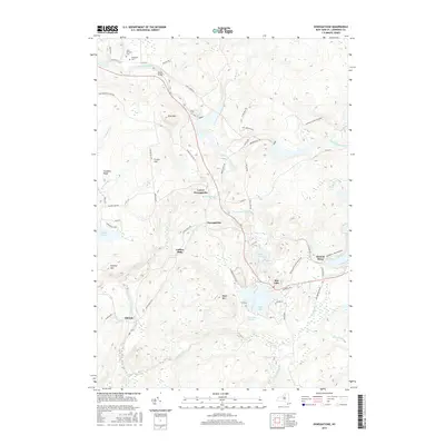
2016 Map of Oswegatchie
USGS Topo · Published 2016About this map
Oswegatchie and the surrounding wilderness of the Adirondack Park define this landscape along the winding course of the Oswegatchie River. The area serves as a primary gateway to the park's interior, centered on the community of Star Lake and the industrial legacy of Benson Mines. The topography is dominated by numerous peaks such as Panther Mtn and Blue Mtn, while the lowlands are marked by historical settlements like Aldrich and Coffins Mills.
Find a feature on this map
63 named features on this map. Tap any name to fly to it.
Don’t see what you’re looking for? This feature index may not catch every label — zoom into the map to look around manually.
Map Details
Editions of this 2016 Oswegatchie Map
This is the sole edition of this map. No revisions or reprints were ever made.
Other maps of this area

1915 · Russell
USGS Topo · 1:62,500

1916 · Oswegatchie
USGS Topo · 1:62,500

1918 · Russell
USGS Topo · 1:62,500

1918 · Oswegatchie
USGS Topo · 1:62,500

1919 · Cranberry Lake
USGS Topo · 1:62,500

1921 · Cranberry Lake
USGS Topo · 1:62,500

1921 · Stark
USGS Topo · 1:62,500

1923 · Stark
USGS Topo · 1:62,500

1931 · Cranberry Lake
USGS Topo · 1:62,500

1940 · Stark
USGS Topo · 1:62,500