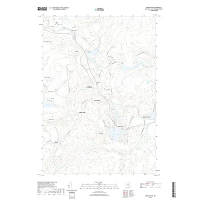
2019 Map of Oswegatchie
USGS Topo · Published 2019About this map
The Oswegatchie River and its numerous tributaries, including Little River and Skate Creek, define the topography of this section of the Adirondack Park. Settlement is concentrated around the shores of Star Lake and the industrial footprint of Benson Mines, where the road network tightens near the Benson Mines Golf Course Rd. The landscape is a mix of high points like Blue Mtn and Panther Mtn and lower-lying wetlands near Regway Ponds.
Find a feature on this map
65 named features on this map. Tap any name to fly to it.
Don’t see what you’re looking for? This feature index may not catch every label — zoom into the map to look around manually.
Map Details
Editions of this 2019 Oswegatchie Map
This is the sole edition of this map. No revisions or reprints were ever made.
Other maps of this area

1915 · Russell
USGS Topo · 1:62,500

1916 · Oswegatchie
USGS Topo · 1:62,500

1918 · Russell
USGS Topo · 1:62,500

1918 · Oswegatchie
USGS Topo · 1:62,500

1919 · Cranberry Lake
USGS Topo · 1:62,500

1921 · Cranberry Lake
USGS Topo · 1:62,500

1921 · Stark
USGS Topo · 1:62,500

1923 · Stark
USGS Topo · 1:62,500

1931 · Cranberry Lake
USGS Topo · 1:62,500

1940 · Stark
USGS Topo · 1:62,500