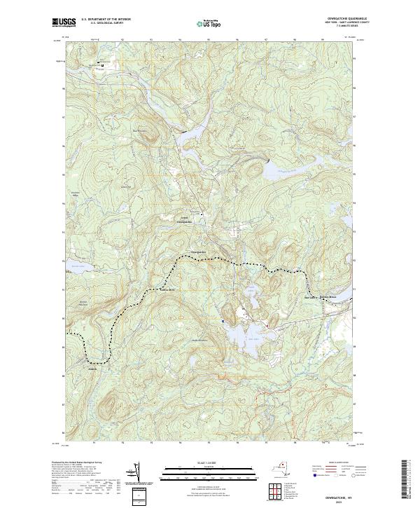
2023 Map of Oswegatchie
USGS Topo · Published 2023About this map
The Oswegatchie River snakes through this St. Lawrence County landscape, defining a region characterized by industrial heritage and deep wilderness within the Adirondack Park Preserve. The community of Star Lake sits at the heart of the sheet, where residential clusters meet the prominent Benson Mines complex. This area illustrates the transition from mid-century iron ore extraction to a landscape increasingly defined by recreation and forestry. Smaller settlements like Lower Oswegatchie and Aldrich are connected by a network of rural routes, including Co Rd 60 and the Oswegatchie Trl Rd.
Find a feature on this map
69 named features on this map. Tap any name to fly to it.
Don’t see what you’re looking for? This feature index may not catch every label — zoom into the map to look around manually.
Map Details
Editions of this 2023 Oswegatchie Map
This is the sole edition of this map. No revisions or reprints were ever made.
Other maps of this area

1915 · Russell
USGS Topo · 1:62,500

1916 · Oswegatchie
USGS Topo · 1:62,500

1918 · Russell
USGS Topo · 1:62,500

1918 · Oswegatchie
USGS Topo · 1:62,500

1919 · Cranberry Lake
USGS Topo · 1:62,500

1921 · Cranberry Lake
USGS Topo · 1:62,500

1921 · Stark
USGS Topo · 1:62,500

1923 · Stark
USGS Topo · 1:62,500

1931 · Cranberry Lake
USGS Topo · 1:62,500

1940 · Stark
USGS Topo · 1:62,500