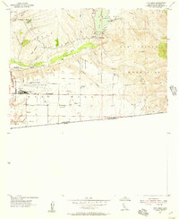
1955 Map of Otay Mesa
USGS Topo · Published 1957About this map
Brown Field Naval Auxiliary Air Station dominates the western mesa in this mid-1950s survey of the California-Mexico borderlands. This military installation and its adjacent Bombing Range reflect the Cold War aviation footprint in San Diego County, situated just north of the United States Mexico international boundary. The landscape transitions from the flat expanse of Otay Mesa to the high ridges of the San Ysidro Mountains, where various canyons like La Nacion Canyon and O'Neal Canyon carve through the terrain.
Find a feature on this map
33 named features on this map. Tap any name to fly to it.
Don’t see what you’re looking for? This feature index may not catch every label — zoom into the map to look around manually.
Map Details
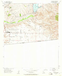
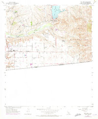
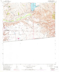
Editions of this 1955 Otay Mesa Map
4 editions found
Other maps of this area

1903 · Cuyamaca
USGS Topo · 1:125,000

1904 · San Diego
USGS Topo · 1:62,500

1904 · Southern California Sheet No. 2
USGS Topo · 1:250,000

1930 · San Diego
USGS Topo · 1:62,500
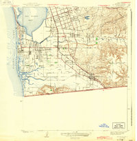
1943 · San Ysidro
USGS Topo · 1:31,680

1943 · Jamul
USGS Topo · 1:62,500
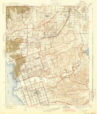
1944 · National City
USGS Topo · 1:31,680

1950 · San Diego
USGS Topo · 1:250,000
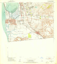
1953 · San Ysidro
USGS Topo · 1:24,000
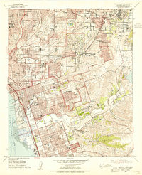
1953 · National City
USGS Topo · 1:24,000