Loading...
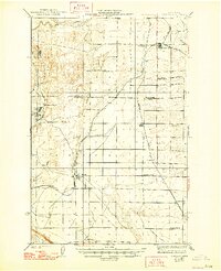
Loading map...1924 Map of Othello
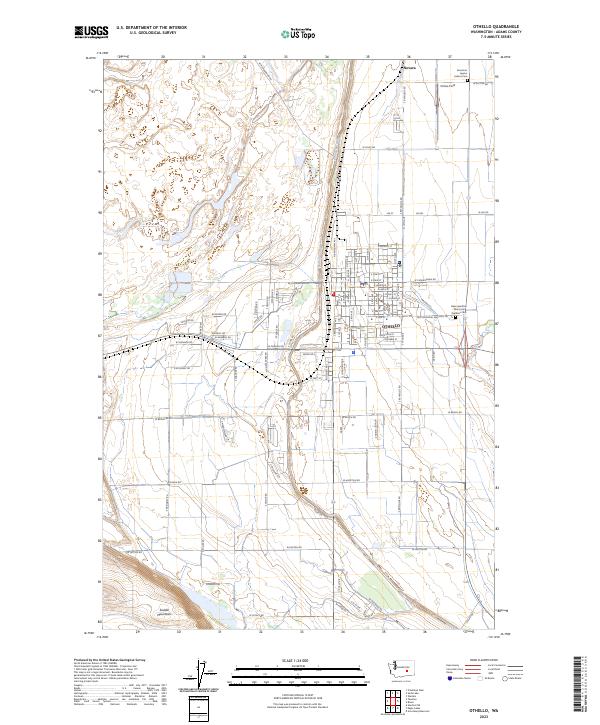
USGS Topo · Published 1948About this map
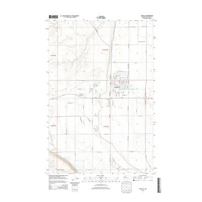
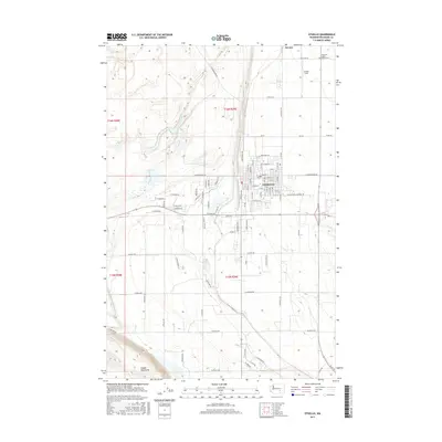
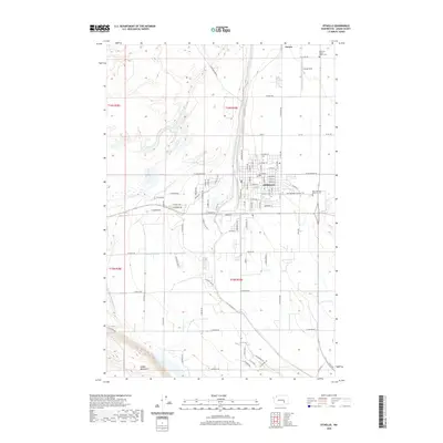
Othello and Warden serve as primary hubs in this agricultural and rail corridor surveyed shortly after the First World War. The landscape is defined by the sweeping coulees and basalt-edged depressions of the Scablands, with Lind Coulee and Crab Creek cutting through the terrain. The presence of the Chicago Milwaukee and St Paul and Northern Pacific railroads illustrates the region's total reliance on steam-era transit for moving wheat and livestock to market.
Find a feature on this map
27 named features on this map. Tap any name to fly to it.
Don’t see what you’re looking for? This feature index may not catch every label — zoom into the map to look around manually.
Map Details
Date Portrayed1924
Date Published1948
PublisherU.S. Geological Survey
Map TypeTopographic
Scale1:62,500
Physical Dimensions17.01 x 20.93 inches
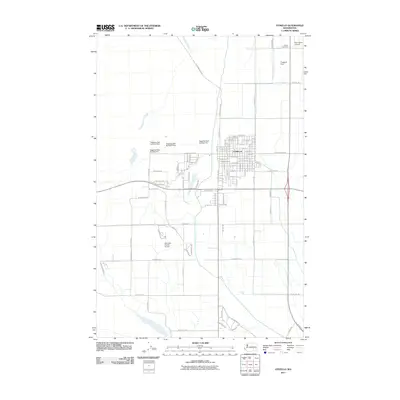
Editions of this 1924 Othello Map
2 editions found

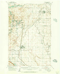
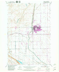
Historical Maps of Othello Through Time
8 maps found
Featured Locations
Source Details
SourceU.S. Geological Survey
CopyrightPublic Domain