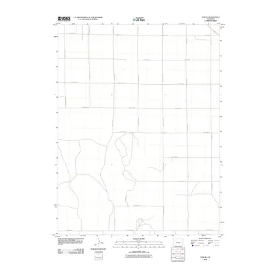
2010 Map of Otis SE
USGS Topo · Published 2010About this map
Agricultural grid lines define the landscape of Yuma County in this 2010 topographic record. The area is characterized by an expansive, orderly network of rural transport routes, including County Rd WW and County Rd D, which facilitate the movement of goods and people across the high plains. The intersection of horizontal paths like County Rd 38 and County Rd 30 with vertical connectors such as County Rd ZZ reveals a pattern of land division typical of the American West. While largely devoid of dense settlements, the presence of these well-defined routes underscores the enduring importance of road access in this sparsely populated region of Colorado.
Find a feature on this map
17 named features on this map. Tap any name to fly to it.
Don’t see what you’re looking for? This feature index may not catch every label — zoom into the map to look around manually.
Map Details
Editions of this 2010 Otis SE Map
This is the sole edition of this map. No revisions or reprints were ever made.
Other maps of this area

1954 · Limon
USGS Topo · 1:250,000

1954 · Sterling
USGS Topo · 1:250,000

1957 · Limon
USGS Topo · 1:250,000

1958 · Limon
USGS Topo · 1:250,000

1958 · Sterling
USGS Topo · 1:250,000

1972 · Otis
USGS Topo · 1:24,000

1972 · Hyde
USGS Topo · 1:24,000

1972 · Snyder Lake
USGS Topo · 1:24,000

1972 · Otis SE
USGS Topo · 1:24,000

1972 · Yuma South
USGS Topo · 1:24,000