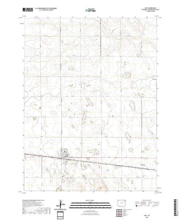
2022 Map of Otis
USGS Topo · Published 2022About this map
Otis stands as the primary hub of this high plains landscape, defined by a distinct grid of agricultural roads such as Co RD 40 and Co RD RR. This 2022 survey captures the town's structural layout in detail, showing a network of streets including Railroad Ave and S Washington St that speak to its development alongside the rail line. Just south of the main settlement lies the Otis Cem, an essential landmark for genealogists and local historians tracing family lineages in Washington County.
Find a feature on this map
31 named features on this map. Tap any name to fly to it.
Don’t see what you’re looking for? This feature index may not catch every label — zoom into the map to look around manually.
Map Details
Editions of this 2022 Otis Map
This is the sole edition of this map. No revisions or reprints were ever made.
Other maps of this area

1954 · Sterling
USGS Topo · 1:250,000

1958 · Sterling
USGS Topo · 1:250,000

1972 · Otis
USGS Topo · 1:24,000

1972 · Hyde
USGS Topo · 1:24,000

1972 · Lone Star
USGS Topo · 1:24,000

1972 · Snyder Lake
USGS Topo · 1:24,000

1972 · Otis SE
USGS Topo · 1:24,000

1972 · Burdett
USGS Topo · 1:24,000

1973 · Platner
USGS Topo · 1:24,000

1973 · Buffalo Springs Ranch SE
USGS Topo · 1:24,000