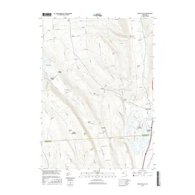
2016 Map of Otisco Valley
USGS Topo · Published 2016About this map
Otisco Lake and the surrounding glacial valleys of Central New York define the landscape in this mid-2010s topographic study. The area is characterized by steep-sided ravines such as Rattlesnake Gulf and Emerson Gulf, which feed into the Onondaga Creek drainage. Settled hamlets like Vesper, Bromley, and Otisco Valley are scattered among high-elevation points like Dutch Hill and Bare Mountain.
Find a feature on this map
103 named features on this map. Tap any name to fly to it.
Don’t see what you’re looking for? This feature index may not catch every label — zoom into the map to look around manually.
Map Details
Editions of this 2016 Otisco Valley Map
This is the sole edition of this map. No revisions or reprints were ever made.
Other maps of this area

1898 · Moravia
USGS Topo · 1:62,500

1899 · Skaneateles
USGS Topo · 1:62,500

1900 · Tully
USGS Topo · 1:62,500

1902 · Skaneateles
USGS Topo · 1:62,500

1902 · Moravia
USGS Topo · 1:62,500

1903 · Cortland
USGS Topo · 1:62,500

1943 · South Onondaga
USGS Topo · 1:31,680

1943 · Spafford
USGS Topo · 1:31,680

1943 · Jamesville
USGS Topo · 1:31,680

1943 · Otisco Valley
USGS Topo · 1:31,680