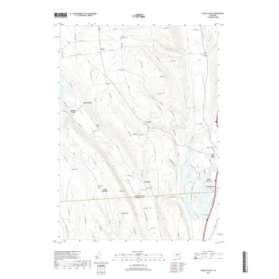
2019 Map of Otisco Valley
USGS Topo · Published 2019About this map
The Onondaga County and Cortland County border defines the lower third of this region, where the glacial landscape of Central New York transitions from high ridges like Bare Mountain and Dutch Hill into deep drainage basins. The settlement at Otisco and the adjacent Otisco Valley sit near the northern reaches of Otisco Lake, while to the east, the terrain is carved by Emerson Gulf. Numerous family and community burial grounds are found throughout these hills, including Hillsdale Cem, The West Cem, and Christian Hollow Cem, reflecting a long history of rural landownership.
Find a feature on this map
102 named features on this map. Tap any name to fly to it.
Don’t see what you’re looking for? This feature index may not catch every label — zoom into the map to look around manually.
Map Details
Editions of this 2019 Otisco Valley Map
This is the sole edition of this map. No revisions or reprints were ever made.
Other maps of this area

1898 · Moravia
USGS Topo · 1:62,500

1899 · Skaneateles
USGS Topo · 1:62,500

1900 · Tully
USGS Topo · 1:62,500

1902 · Skaneateles
USGS Topo · 1:62,500

1902 · Moravia
USGS Topo · 1:62,500

1903 · Cortland
USGS Topo · 1:62,500

1943 · South Onondaga
USGS Topo · 1:31,680

1943 · Spafford
USGS Topo · 1:31,680

1943 · Jamesville
USGS Topo · 1:31,680

1943 · Otisco Valley
USGS Topo · 1:31,680