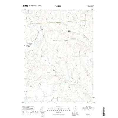
2019 Map of Otselic
USGS Topo · Published 2019About this map
The Otselic River carves through the highland terrain of Chenango County, anchoring a series of small, dispersed settlements including Otselic, Otselic Center, and Bonney. This high-relief landscape is defined by its numerous tributary brooks—such as Muller Brook, Mann Brook, and Middletown Brook—which flow between prominent elevations like Texas Hill and Truman Hill. The map provides significant genealogical value through its documentation of rural burial grounds, including Maple Grove Cem, Bonney Cem, and Cole Hill Cem, each situated near their respective historic hamlets. In the southern portion of the quadrangle, the terrain transitions into the upper reaches of the E Br Canasawacta Cr watershed near Beaver Meadow and Pigeon Hill. The intricate network of local roads, such as Ivan Stannard Rd and Fur Farm Rd, reflects the area's agricultural and forest-based orientation.
Find a feature on this map
75 named features on this map. Tap any name to fly to it.
Don’t see what you’re looking for? This feature index may not catch every label — zoom into the map to look around manually.
Map Details
Editions of this 2019 Otselic Map
This is the sole edition of this map. No revisions or reprints were ever made.
Other maps of this area
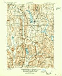
1897 · Cazenovia
USGS Topo · 1:62,500
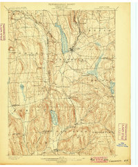
1899 · Cazenovia
USGS Topo · 1:62,500
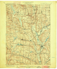
1902 · Morrisville
USGS Topo · 1:62,500
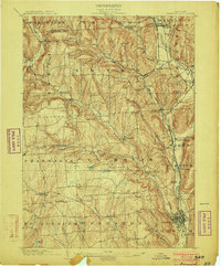
1903 · Norwich
USGS Topo · 1:62,500
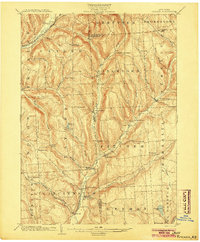
1904 · Pitcher
USGS Topo · 1:62,500
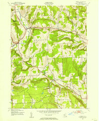
1943 · Otselic
USGS Topo · 1:24,000
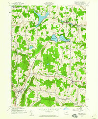
1943 · West Eaton
USGS Topo · 1:24,000
1943 · South Ostelic
USGS Topo · 1:24,000
1943 · Erieville
USGS Topo · 1:24,000
1943 · Norwich
USGS Topo · 1:24,000