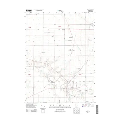
2013 Map of Ottawa
USGS Topo · Published 2013About this map
Ottawa and the neighboring village of Glandorf anchor this northwestern Ohio landscape, where the Blanchard River and Cranberry Cr cut through a highly organized grid of rural section lines. The map reveals a deeply rooted community structure, evidenced by the numerous cemeteries and parish sites like Saints Peter and Paul Cem and Saint Johns Cem that serve these historic Catholic settlements.
Find a feature on this map
96 named features on this map. Tap any name to fly to it.
Don’t see what you’re looking for? This feature index may not catch every label — zoom into the map to look around manually.
Map Details
Editions of this 2013 Ottawa Map
This is the sole edition of this map. No revisions or reprints were ever made.
Other maps of this area

1906 · Columbus Grove
USGS Topo · 1:62,500

1907 · Bluffton
USGS Topo · 1:62,500

1908 · Columbus Grove
USGS Topo · 1:62,500

1908 · Ottawa
USGS Topo · 1:62,500

1950 · Marion
USGS Topo · 1:250,000

1953 · Fort Wayne
USGS Topo · 1:250,000

1953 · Muncie
USGS Topo · 1:250,000

1956 · Muncie
USGS Topo · 1:250,000

1956 · Fort Wayne
USGS Topo · 1:250,000

1956 · Toledo
USGS Topo · 1:250,000