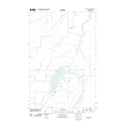
2011 Map of Otter Lake
USGS Topo · Published 2011About this map
The Otter Lake basin and its surrounding wetlands serve as the focal point for this rural landscape in Michigan's Upper Peninsula. The Sturgeon River meanders extensively through the eastern portion of the map, creating a complex series of oxbows and floodplains that contrast with the organized grid of farm roads and homesteads to the west. Small settlements like Tapiola and Askel are defined by family-named routes such as Manninen Rd and Askel Rd, suggesting a landscape shaped by tight-knit community and agricultural persistence.
Find a feature on this map
46 named features on this map. Tap any name to fly to it.
Don’t see what you’re looking for? This feature index may not catch every label — zoom into the map to look around manually.
Map Details
Editions of this 2011 Otter Lake Map
This is the sole edition of this map. No revisions or reprints were ever made.
Other maps of this area

1915 · Houghton
USGS Topo · 1:62,500

1946 · Chassell
USGS Topo · 1:24,000

1946 · South Range
USGS Topo · 1:24,000

1948 · South Range
USGS Topo · 1:24,000

1948 · Chassell
USGS Topo · 1:24,000

1954 · Keweenaw Bay
USGS Topo · 1:62,500

1954 · Point Mills
USGS Topo · 1:24,000

1954 · Pelkie
USGS Topo · 1:62,500

1954 · Houghton
USGS Topo · 1:62,500

1958 · Hancock
USGS Topo · 1:250,000