
1954 Map of Point Mills
USGS Topo · Published 1956About this map
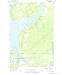
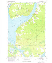
Torch Lake and Portage Lake define this mid-century landscape of the Keweenaw Peninsula, where the legacy of the copper industry remains visible in the terrain. Rail transport was central to the area's economy, with the Copper Range and DSS&A railroads skirting the shorelines and connecting industrial settlements like Dollar Bay and Senter. Near Point Mills, a significant Mine Dump is charted, illustrating the scale of local extraction and processing.
Find a feature on this map
35 named features on this map. Tap any name to fly to it.
Don’t see what you’re looking for? This feature index may not catch every label — zoom into the map to look around manually.
Map Details
Editions of this 1954 Point Mills Map
3 editions found
Other maps of this area

1915 · Houghton
USGS Topo · 1:62,500

1946 · Hancock
USGS Topo · 1:24,000

1946 · Chassell
USGS Topo · 1:24,000

1946 · Laurium
USGS Topo · 1:24,000

1948 · Laurium
USGS Topo · 1:24,000

1948 · Hancock
USGS Topo · 1:24,000

1948 · Chassell
USGS Topo · 1:24,000

1954 · Traverse Island
USGS Topo · 1:24,000
1954 · Rice Lake
USGS Topo · 1:24,000

1954 · Keweenaw Bay
USGS Topo · 1:62,500