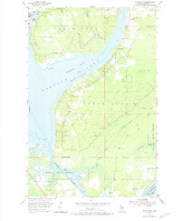
1954 Map of Point Mills
USGS Topo · Published 1974About this map
The Copper Range railroad traces the western shoreline of this Copper Country landscape, serving industrial hubs like Dollar Bay and Point Mills. During this mid-century period, the area around Torch Lake and Portage Lake remained a critical corridor for the region's mining and manufacturing legacy, evidenced by the Mine Dump at Point Mills and the expansive Stone Quarry to the south. The map documents a blend of industrial utility and remote wilderness, with the Baraga State Forest dominating the southeastern terrain.
Find a feature on this map
34 named features on this map. Tap any name to fly to it.
Don’t see what you’re looking for? This feature index may not catch every label — zoom into the map to look around manually.
Map Details
Editions of this 1954 Point Mills Map
3 editions found

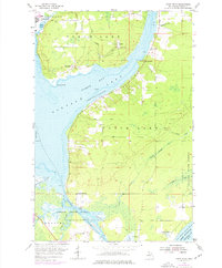
Other maps of this area

1915 · Houghton
USGS Topo · 1:62,500

1946 · Hancock
USGS Topo · 1:24,000

1946 · Chassell
USGS Topo · 1:24,000

1946 · Laurium
USGS Topo · 1:24,000

1948 · Laurium
USGS Topo · 1:24,000

1948 · Hancock
USGS Topo · 1:24,000

1948 · Chassell
USGS Topo · 1:24,000

1954 · Traverse Island
USGS Topo · 1:24,000
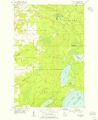
1954 · Rice Lake
USGS Topo · 1:24,000

1954 · Keweenaw Bay
USGS Topo · 1:62,500