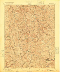
1907 Map of Otter
USGS Topo · Published 1920About this map
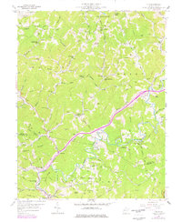
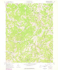
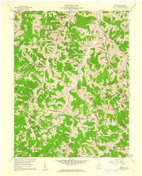
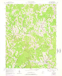
The Henry Fork and numerous tributary runs carve deep into the plateau where the borders of Roane, Calhoun, Braxton, and Clay counties converge. Surveyed in the first decade of the 1900s, this landscape is defined by small, valley-bottom settlements such as Newton, Linden, and Big Otter. The mapping reveals a pattern of dispersed homesteads and rural centers connected by winding ridge and creek-side roads, representing the central West Virginia interior before modern highways transformed the region.
Find a feature on this map
83 named features on this map. Tap any name to fly to it.
Don’t see what you’re looking for? This feature index may not catch every label — zoom into the map to look around manually.
Map Details
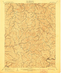
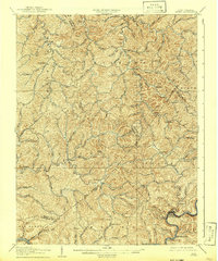
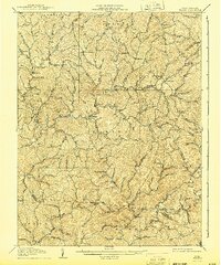
Editions of this 1907 Otter Map
3 editions found
Historical Maps of Elana Through Time
18 maps found

1906 Otter
Roane County, WV

1906 Walton
Roane County, WV
1907 Otter
Roane County, WV
1907 Walton
Roane County, WV
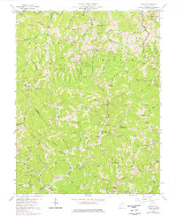
1957 Clio
Roane County, WV
1957 Looneyville
Roane County, WV
1957 Peniel
Roane County, WV
1957 Walton
Roane County, WV
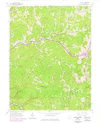
1958 Kettle
Roane County, WV
1966 Newton
Roane County, WV

1966 Tariff
Roane County, WV
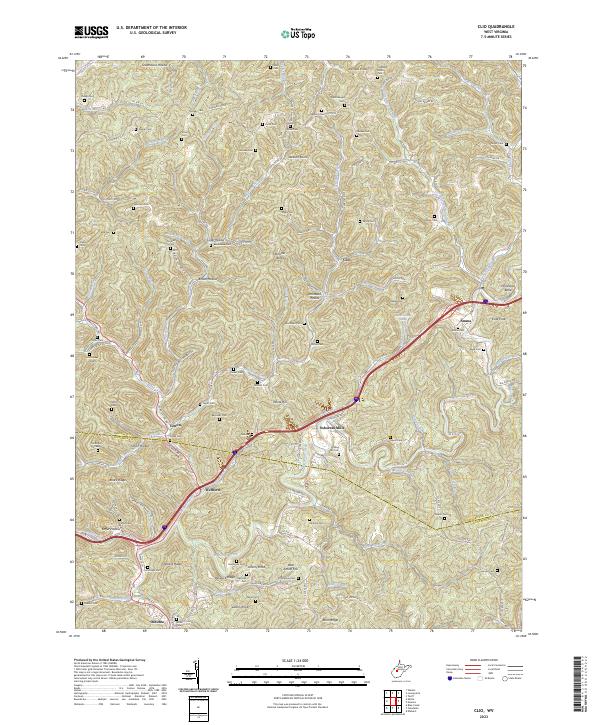
2023 Clio
Roane County, WV
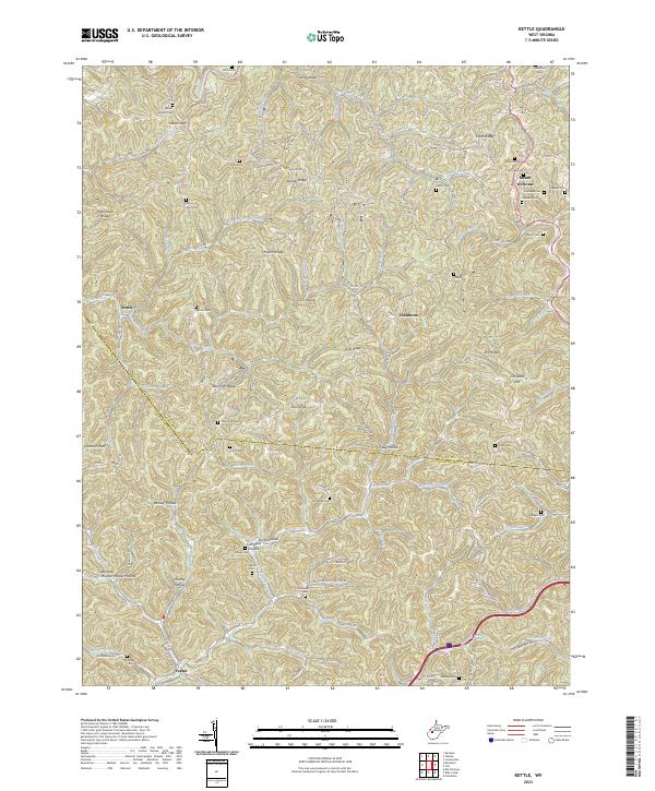
2023 Kettle
Roane County, WV
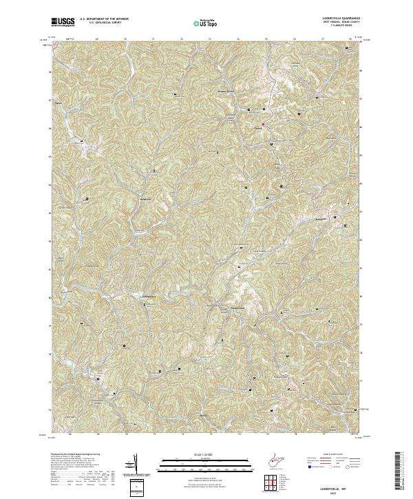
2023 Looneyville
Roane County, WV

2023 Newton
Roane County, WV
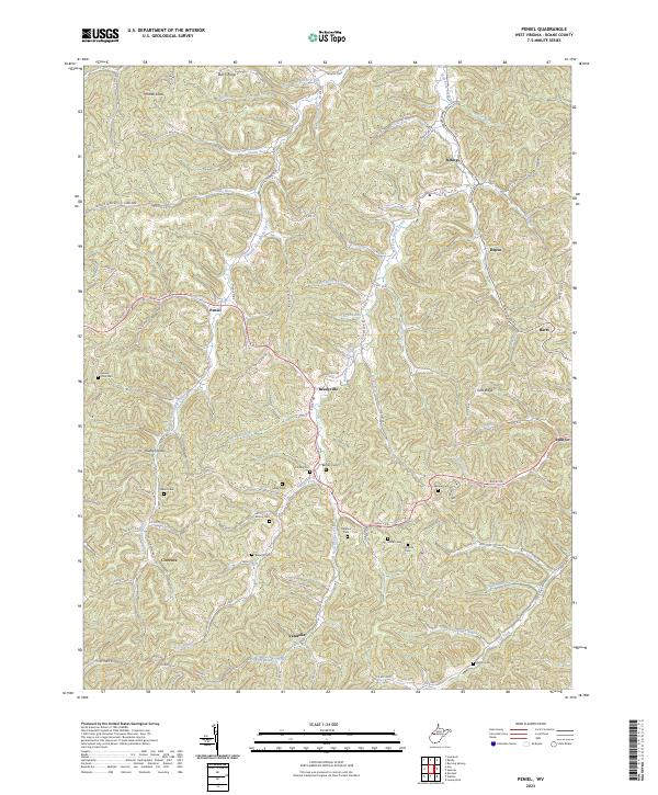
2023 Peniel
Roane County, WV
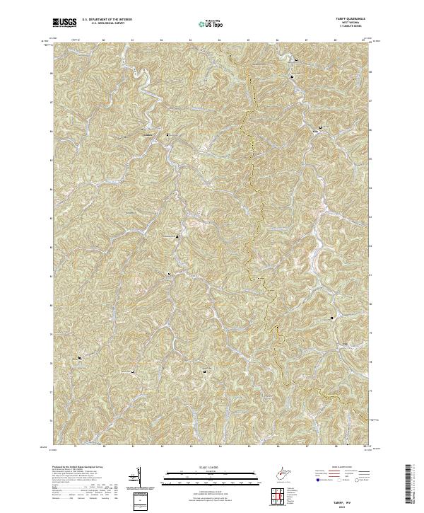
2023 Tariff
Roane County, WV
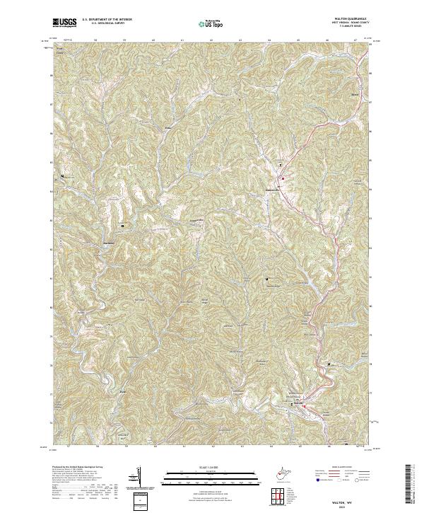
2023 Walton
Roane County, WV