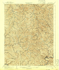
1907 Map of Otter
USGS Topo · Published 1942About this map
Deep valleys and ridgeline knobs define this portion of central West Virginia during the first decade of the 1900s. The landscape is marked by a complex network of creeks and forks, such as Henry Fork and Sams Run, which dictated the placement of early settlements. Small communities are dispersed throughout the hills, including Newton, Tariff, and Linden, often situated at the confluence of mountain streams or along the lower elevations of the ridges.
Find a feature on this map
105 named features on this map. Tap any name to fly to it.
Don’t see what you’re looking for? This feature index may not catch every label — zoom into the map to look around manually.
Map Details
Editions of this 1907 Otter Map
3 editions found

Other maps of this area

1889 · Nicholas
USGS Topo · 1:125,000

1891 · Nicholas
USGS Topo · 1:125,000

1893 · Sutton
USGS Topo · 1:125,000

1897 · Kanawha Falls
USGS Topo · 1:125,000

1900 · Kanawha Falls
USGS Topo · 1:125,000

1901 · Nicholas
USGS Topo · 1:125,000

1901 · Kanawha Falls
USGS Topo · 1:125,000

1906 · Glenville
USGS Topo · 1:62,500

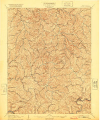
1906 · Otter
USGS Topo · 1:62,500

1906 · Walton
USGS Topo · 1:62,500