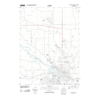
2010 Map of Ottumwa North
USGS Topo · Published 2010About this map
The Des Moines River carves a deep path through this landscape, anchoring the development of Ottumwa. By the early 21st century, the city had grown into a complex urban hub, with distinct districts like Pickwick, East Ottumwa, and Port Richmond established along the riverbanks and rail corridors. The transportation infrastructure is dense here, featuring the Ottumwa Junction and the sprawling Ottumwa Industrial Airport to the north.
Find a feature on this map
51 named features on this map. Tap any name to fly to it.
Don’t see what you’re looking for? This feature index may not catch every label — zoom into the map to look around manually.
Map Details
Editions of this 2010 Ottumwa North Map
This is the sole edition of this map. No revisions or reprints were ever made.
Other maps of this area

1954 · Centerville
USGS Topo · 1:250,000

1954 · Des Moines
USGS Topo · 1:250,000

1956 · Des Moines
USGS Topo · 1:250,000

1956 · Farson
USGS Topo · 1:24,000

1956 · Agency
USGS Topo · 1:24,000

1956 · Ottumwa North
USGS Topo · 1:62,500

1956 · Ottumwa South
USGS Topo · 1:24,000

1956 · Ottumwa South
USGS Topo · 1:62,500

1956 · Ottumwa North
USGS Topo · 1:24,000

1957 · Des Moines
USGS Topo · 1:250,000