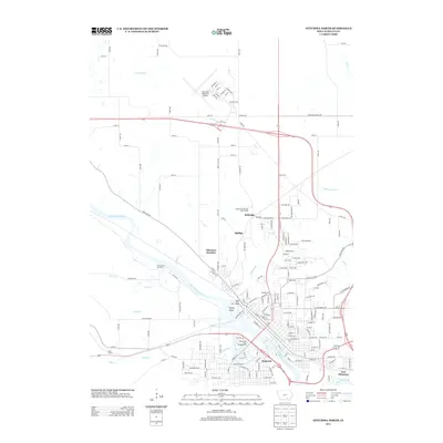
2013 Map of Ottumwa North
USGS Topo · Published 2013About this map
The Des Moines River carves a winding path through this northern section of Wapello County, anchoring a landscape where industrial infrastructure meets recreational space. The riverfront features notable landmarks like Turkey Island and the Black Hawk River Access, while the surrounding neighborhoods of Pickwick and East Ottumwa reflect the city's residential spread. To the north, the Ottumwa Industrial Airport and several rail-associated settlements like Ottumwa Junction and Rutledge highlight the area's role as a regional transport hub.
Find a feature on this map
171 named features on this map. Tap any name to fly to it.
Don’t see what you’re looking for? This feature index may not catch every label — zoom into the map to look around manually.
Map Details
Editions of this 2013 Ottumwa North Map
This is the sole edition of this map. No revisions or reprints were ever made.
Other maps of this area

1954 · Centerville
USGS Topo · 1:250,000
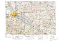
1954 · Des Moines
USGS Topo · 1:250,000
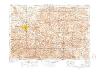
1956 · Des Moines
USGS Topo · 1:250,000
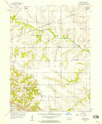
1956 · Farson
USGS Topo · 1:24,000
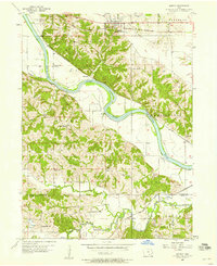
1956 · Agency
USGS Topo · 1:24,000
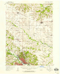
1956 · Ottumwa North
USGS Topo · 1:62,500
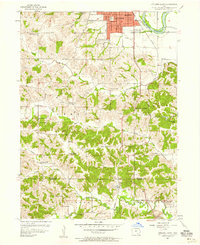
1956 · Ottumwa South
USGS Topo · 1:24,000
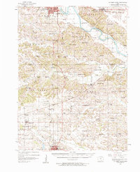
1956 · Ottumwa South
USGS Topo · 1:62,500
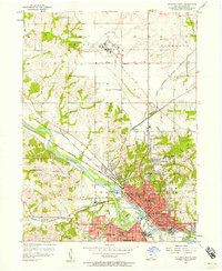
1956 · Ottumwa North
USGS Topo · 1:24,000
1957 · Des Moines
USGS Topo · 1:250,000