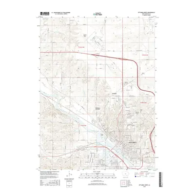
2015 Map of Ottumwa North
USGS Topo · Published 2015About this map
The Des Moines River cuts diagonally through this landscape, shaping the development of Ottumwa and its surrounding northern townships. As a critical regional hub, the area is anchored by the Ottumwa Regional Airport to the north and the sprawling campus of Indian Hills Community Coll near the city center. The map reveals a dense network of local history through its numerous burial sites, including the Hebrew Jewish Cem, Calvary Cem, and Memorial Lawn Cem, which serve as vital markers for genealogical research.
Find a feature on this map
112 named features on this map. Tap any name to fly to it.
Don’t see what you’re looking for? This feature index may not catch every label — zoom into the map to look around manually.
Map Details
Editions of this 2015 Ottumwa North Map
This is the sole edition of this map. No revisions or reprints were ever made.
Other maps of this area

1954 · Centerville
USGS Topo · 1:250,000
1954 · Des Moines
USGS Topo · 1:250,000
1956 · Des Moines
USGS Topo · 1:250,000
1956 · Farson
USGS Topo · 1:24,000
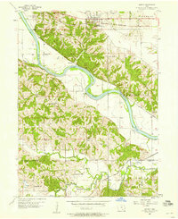
1956 · Agency
USGS Topo · 1:24,000
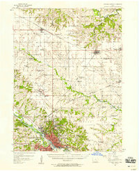
1956 · Ottumwa North
USGS Topo · 1:62,500
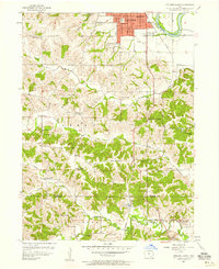
1956 · Ottumwa South
USGS Topo · 1:24,000
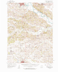
1956 · Ottumwa South
USGS Topo · 1:62,500
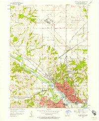
1956 · Ottumwa North
USGS Topo · 1:24,000
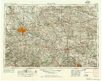
1957 · Des Moines
USGS Topo · 1:250,000