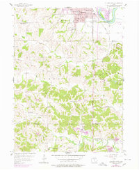
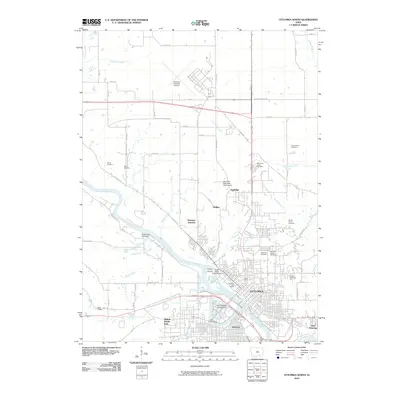
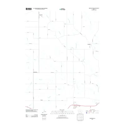
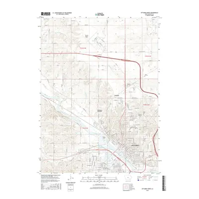
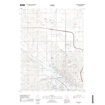
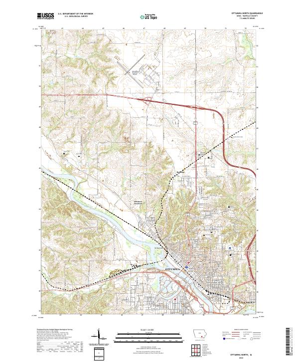
1956 Map of Ottumwa North
USGS Topo · Published 1978About this map
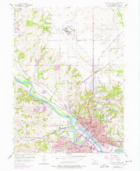
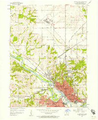
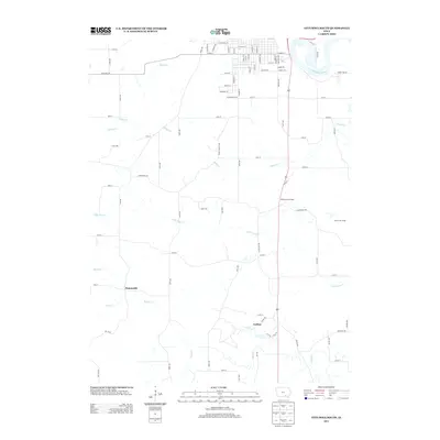
The Des Moines River carves a deep path through Wapello County, anchoring the urban center of Ottumwa and the industrial activity of the mid-1950s. This survey illustrates a dense network of neighborhoods and civic institutions, featuring numerous schools such as Franklin Sch, Washington Jr High Sch, and the campus of Ottumwa Heights College. The landscape is defined by its transition from the built-up city core toward the agricultural uplands of Richland and Highland townships.
Find a feature on this map
69 named features on this map. Tap any name to fly to it.
Don’t see what you’re looking for? This feature index may not catch every label — zoom into the map to look around manually.
Map Details
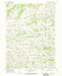
Editions of this 1956 Ottumwa North Map
2 editions found
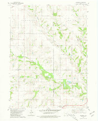
Historical Maps of Ottumwa Through Time
31 maps found
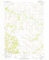
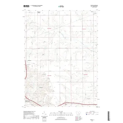
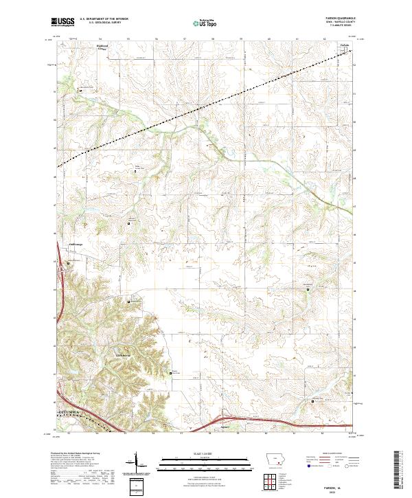
1956 Farson
Wapello County, IA
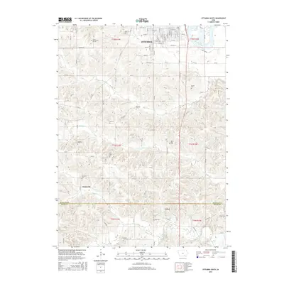
1956 Ottumwa North
Wapello County, IA
1956 Ottumwa North
Wapello County, IA
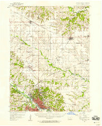
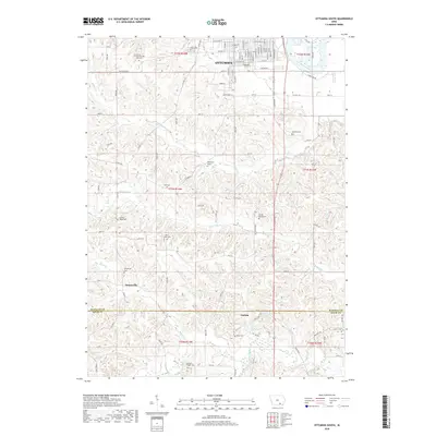
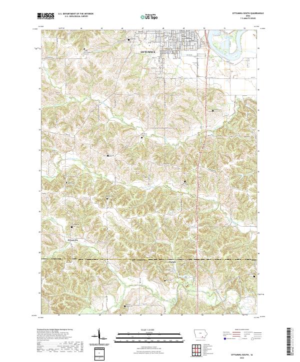
1956 Ottumwa South
Wapello County, IA
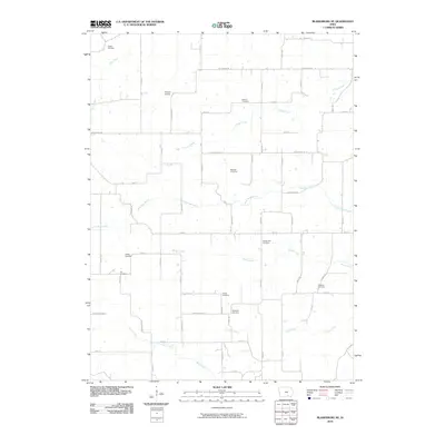
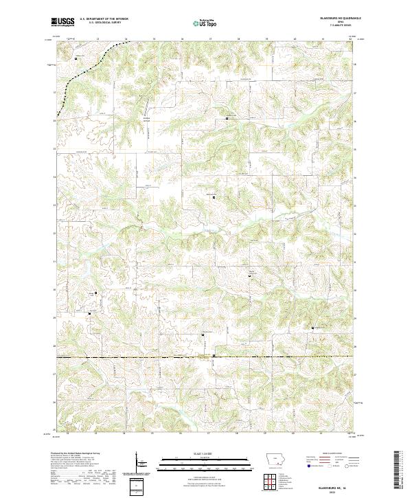
1968 Blakesburg NE
Wapello County, IA
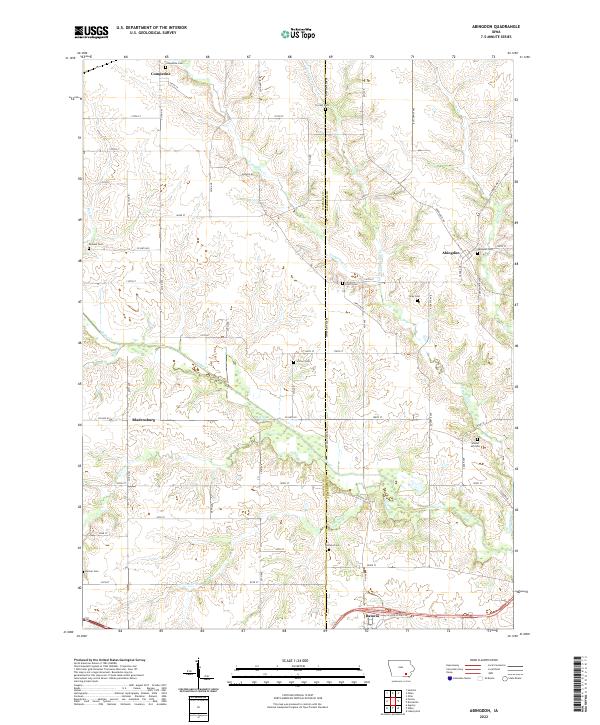
1980 Abingdon
Wapello County, IA
2010 Abingdon
Wapello County, IA
2010 Blakesburg NE
Wapello County, IA
2010 Farson
Wapello County, IA
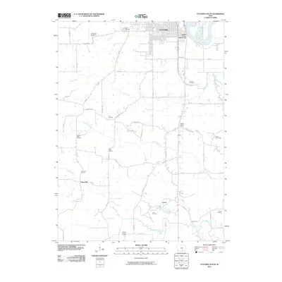
2010 Ottumwa North
Wapello County, IA
2010 Ottumwa South
Wapello County, IA
2013 Abingdon
Wapello County, IA
2013 Blakesburg NE
Wapello County, IA
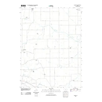
2013 Farson
Wapello County, IA
2013 Ottumwa North
Wapello County, IA
2013 Ottumwa South
Wapello County, IA
2015 Abingdon
Wapello County, IA
2015 Blakesburg NE
Wapello County, IA
2015 Farson
Wapello County, IA
2015 Ottumwa North
Wapello County, IA
2015 Ottumwa South
Wapello County, IA
2018 Abingdon
Wapello County, IA
2018 Blakesburg NE
Wapello County, IA
2018 Farson
Wapello County, IA
2018 Ottumwa North
Wapello County, IA
2018 Ottumwa South
Wapello County, IA
2022 Abingdon
Wapello County, IA
2022 Blakesburg NE
Wapello County, IA
2022 Farson
Wapello County, IA
2022 Ottumwa North
Wapello County, IA
2022 Ottumwa South
Wapello County, IA