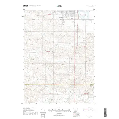
2018 Map of Ottumwa South
USGS Topo · Published 2018About this map
Ottumwa marks the northern edge of this landscape, where residential streets like W Mary St and Silk Ave transition into the creek-cut terrain of southern Wapello Co. The terrain is defined by the drainage networks of Little Soap Cr and Village Cr, which flow through a rural patchwork of timber and small-scale agriculture. This area is notably dense with small, family-named burial sites and historic church plots, such as Point Isabel Cem and the Wilkenson Grave. To the south, the landscape crosses the Wapello County and Davis County line, revealing the small communities of Ormanville and Carbon. The proximity of landmarks like the County Farm Number One Cem and Sherman Chapel Cem provides significant geographical context for local families tracing roots between the city limits and the creek bottoms.
Find a feature on this map
66 named features on this map. Tap any name to fly to it.
Don’t see what you’re looking for? This feature index may not catch every label — zoom into the map to look around manually.
Map Details
Editions of this 2018 Ottumwa South Map
This is the sole edition of this map. No revisions or reprints were ever made.
Other maps of this area

1954 · Centerville
USGS Topo · 1:250,000
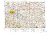
1954 · Des Moines
USGS Topo · 1:250,000
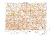
1956 · Des Moines
USGS Topo · 1:250,000
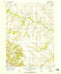
1956 · Farson
USGS Topo · 1:24,000
1956 · Agency
USGS Topo · 1:24,000
1956 · Ottumwa North
USGS Topo · 1:62,500
1956 · Ottumwa South
USGS Topo · 1:24,000
1956 · Ottumwa South
USGS Topo · 1:62,500
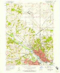
1956 · Ottumwa North
USGS Topo · 1:24,000
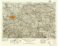
1957 · Des Moines
USGS Topo · 1:250,000