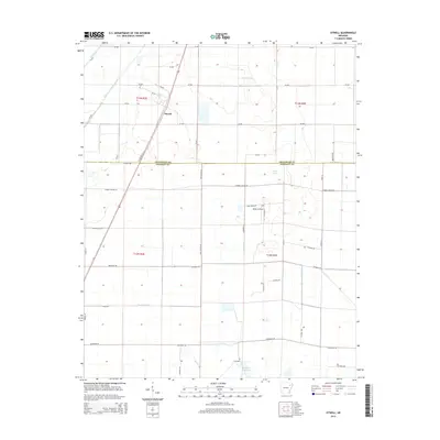
2014 Map of Otwell
USGS Topo · Published 2014About this map
Otwell serves as the primary settlement hub in this part of northeastern Arkansas, situated along AR 158 Hwy W. The landscape is defined by an extensive network of water management features, including Caney Ditch and Big Creek Lateral Number 1, which drain the low-lying terrain for agricultural use. This drainage system is punctuated by significant local reservoirs and lakes such as Claypool Reservoir, Chase Reservoir, and Farmers Lake.
Find a feature on this map
50 named features on this map. Tap any name to fly to it.
Don’t see what you’re looking for? This feature index may not catch every label — zoom into the map to look around manually.
Map Details
Editions of this 2014 Otwell Map
This is the sole edition of this map. No revisions or reprints were ever made.
Other maps of this area

1935 · Sedgwick
USGS Topo · 1:62,500

1939 · Weiner
USGS Topo · 1:62,500

1939 · Jonesboro
USGS Topo · 1:62,500

1940 · Dee
USGS Topo · 1:62,500

1953 · Memphis
USGS Topo · 1:250,000

1956 · Memphis
USGS Topo · 1:250,000

1958 · Dee
USGS Topo · 1:62,500

1958 · Jonesboro
USGS Topo · 1:62,500

1959 · Weiner
USGS Topo · 1:62,500

1959 · Sedgwick
USGS Topo · 1:62,500