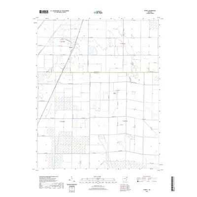
2020 Map of Otwell
USGS Topo · Published 2020About this map
Otwell serves as the primary hub for this low-lying agricultural landscape on the border of Craighead and Poinsett counties. The terrain is defined by an extensive drainage network designed to manage the fertile bottomlands, featuring Big Creek, Mound Ditch, and Raccoon Bayou. The intricate system of man-made waterways, including Big Creek Lateral Number 1, reflects a history of systematic land reclamation for farming. Local landmarks such as Otwell Cem and Keller Airfield provide specific points of interest for genealogists and local historians tracking family roots and small-scale aviation history. A grid of rural routes like Punkin Center Rd and Old Village Ln connects isolated farmsteads, illustrating the enduring rural character of this region well into the twenty-first century.
Find a feature on this map
49 named features on this map. Tap any name to fly to it.
Don’t see what you’re looking for? This feature index may not catch every label — zoom into the map to look around manually.
Map Details
Editions of this 2020 Otwell Map
This is the sole edition of this map. No revisions or reprints were ever made.
Other maps of this area

1935 · Sedgwick
USGS Topo · 1:62,500

1939 · Weiner
USGS Topo · 1:62,500

1939 · Jonesboro
USGS Topo · 1:62,500

1940 · Dee
USGS Topo · 1:62,500

1953 · Memphis
USGS Topo · 1:250,000

1956 · Memphis
USGS Topo · 1:250,000

1958 · Dee
USGS Topo · 1:62,500

1958 · Jonesboro
USGS Topo · 1:62,500

1959 · Weiner
USGS Topo · 1:62,500

1959 · Sedgwick
USGS Topo · 1:62,500