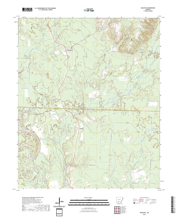
2024 Map of Ouachita
USGS Topo · Published 2024About this map
Ouachita and Smead anchor this South Arkansas landscape, where the meandering course of the Ouachita River defines the southwestern corner of the quadrangle. The terrain is a network of slow-moving waterways and bottomlands, including Tulip Creek, Brushy Creek, and the swampy reaches of Shell Lake Slough. These drainages feed into local bodies of water like Georgia Lake, Utley Lake, and Shell Lake, illustrating the riverine character of the border between Dallas and Ouachita counties.
Find a feature on this map
44 named features on this map. Tap any name to fly to it.
Don’t see what you’re looking for? This feature index may not catch every label — zoom into the map to look around manually.
Map Details
Editions of this 2024 Ouachita Map
This is the sole edition of this map. No revisions or reprints were ever made.
Other maps of this area

1903 · Camden
USGS Topo · 1:125,000

1953 · El Dorado
USGS Topo · 1:250,000

1957 · El Dorado
USGS Topo · 1:250,000

1958 · El Dorado
USGS Topo · 1:250,000

1960 · El Dorado
USGS Topo · 1:250,000

1971 · Tates Bluff
USGS Topo · 1:24,000
1971 · Sparkman
USGS Topo · 1:24,000

1971 · Ouachita
USGS Topo · 1:24,000
1971 · Harmony Grove
USGS Topo · 1:24,000
1971 · Sparkman NW
USGS Topo · 1:24,000