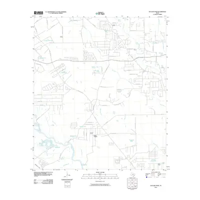
2010 Map of Outlaw Pond
USGS Topo · Published 2010About this map
The West Fork San Jacinto River meanders through the southern half of this landscape, creating a complex network of wetlands and seasonal water bodies like Black Slough and Phillips Lake. Near the settlement of Porter Heights, the terrain reflects a mix of suburban development and industrial utility, anchored by the Williams Airport and the sprawling Conroe Oil Field to the northwest.
Find a feature on this map
77 named features on this map. Tap any name to fly to it.
Don’t see what you’re looking for? This feature index may not catch every label — zoom into the map to look around manually.
Map Details
Editions of this 2010 Outlaw Pond Map
This is the sole edition of this map. No revisions or reprints were ever made.
Other maps of this area

1916 · Moonshine Hill
USGS Topo · 1:24,000

1916 · Spring
USGS Topo · 1:24,000

1919 · Weeden
USGS Topo · 1:31,680

1920 · Spring
USGS Topo · 1:31,680

1920 · Moonshine Hill
USGS Topo · 1:31,680

1954 · Beaumont
USGS Topo · 1:250,000

1957 · Beaumont
USGS Topo · 1:250,000

1958 · Conroe
USGS Topo · 1:24,000

1958 · Fostoria
USGS Topo · 1:24,000

1959 · Outlaw Pond
USGS Topo · 1:24,000