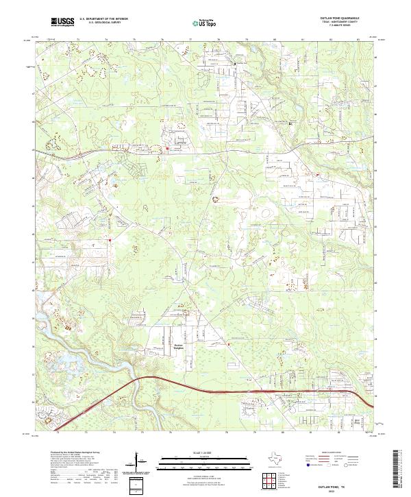
2022 Map of Outlaw Pond
USGS Topo · Published 2022About this map
Porter Heights and the surrounding woodlands of Montgomery County are defined by a complex network of named ponds and creeks. This modern landscape reveals a transition from rural timberlands and family-named landmarks like Beeson Pond and Yonkey Pond to the expanding residential footprint near 99 and 242. The area maintains strong ties to its local history through preserved sites such as Freeman Cem and Vick Cem, situated near Vick Pond.
Find a feature on this map
236 named features on this map. Tap any name to fly to it.
Don’t see what you’re looking for? This feature index may not catch every label — zoom into the map to look around manually.
Map Details
Editions of this 2022 Outlaw Pond Map
This is the sole edition of this map. No revisions or reprints were ever made.
Other maps of this area

1916 · Moonshine Hill
USGS Topo · 1:24,000

1916 · Spring
USGS Topo · 1:24,000

1919 · Weeden
USGS Topo · 1:31,680

1920 · Spring
USGS Topo · 1:31,680

1920 · Moonshine Hill
USGS Topo · 1:31,680

1954 · Beaumont
USGS Topo · 1:250,000

1957 · Beaumont
USGS Topo · 1:250,000

1958 · Conroe
USGS Topo · 1:24,000

1958 · Fostoria
USGS Topo · 1:24,000

1959 · Outlaw Pond
USGS Topo · 1:24,000