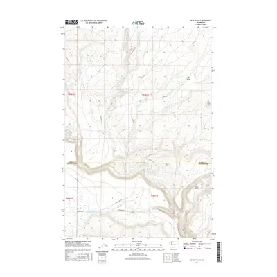
2017 Map of Outlet Falls
USGS Topo · Published 2017About this map
The Klickitat River carves a deep path through this south-central Washington landscape, serving as the border between Yakima and Klickitat counties. This 2017 survey details a region where water and high ground define local geography, notably at the namesake Outlet Falls and nearby Wonder Spring. The area shows a clear history of resource management and early settlement, with the presence of Mill Pond and the small community at Cedar Valley. Large expanses like Borde Flats and the basin at Schafer Pocket are tucked between prominent rises such as Klose Butte. The transportation network is a mix of established routes like the Glenwood Hwy and a system of Bureau of Indian Affairs roads, including BIA Rd 227, which navigate the drainage basins of Trout Cr and Elk Cr.
Find a feature on this map
30 named features on this map. Tap any name to fly to it.
Don’t see what you’re looking for? This feature index may not catch every label — zoom into the map to look around manually.
Map Details
Editions of this 2017 Outlet Falls Map
This is the sole edition of this map. No revisions or reprints were ever made.
Other maps of this area
1904 · Mount Adams
USGS Topo · 1:125,000
1907 · Mount Adams
USGS Topo · 1:125,000
1934 · The Dalles
USGS Topo · 1:125,000

1950 · Yakima
USGS Topo · 1:250,000

1953 · The Dalles
USGS Topo · 1:250,000

1956 · The Dalles
USGS Topo · 1:250,000
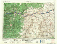
1957 · The Dalles
USGS Topo · 1:250,000
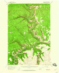
1957 · Klickitat
USGS Topo · 1:62,500
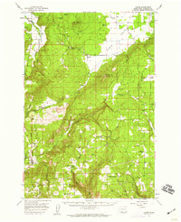
1957 · Husum
USGS Topo · 1:62,500

1958 · Yakima
USGS Topo · 1:250,000