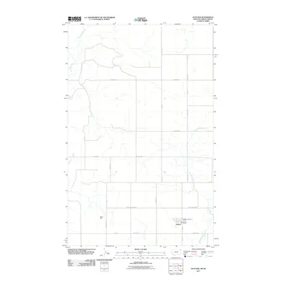
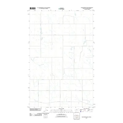
2011 Map of Outlook
USGS Topo · Published 2011About this map
Outlook anchors the southern portion of this northern Sheridan County landscape, where the town's small grid includes the Outlook Post Office and Outlook Fire Dept. The terrain is shaped by the drainage patterns of Big Muddy Creek to the northwest and Plentywood Creek to the east, cutting through the high plains of Big Vly.
Find a feature on this map
21 named features on this map. Tap any name to fly to it.
Don’t see what you’re looking for? This feature index may not catch every label — zoom into the map to look around manually.
Map Details
Editions of this 2011 Outlook Map
This is the sole edition of this map. No revisions or reprints were ever made.
Other maps of this area

1954 · Wolf Point
USGS Topo · 1:250,000

1958 · Wolf Point
USGS Topo · 1:250,000

1983 · Plentywood NW
USGS Topo · 1:24,000
1983 · Daleview
USGS Topo · 1:24,000

1983 · Outlook
USGS Topo · 1:24,000

1983 · Redstone
USGS Topo · 1:24,000

1983 · Archer
USGS Topo · 1:24,000
1983 · Plentywood SW
USGS Topo · 1:24,000
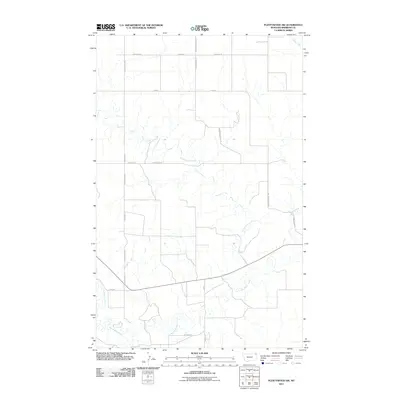
2011 · Plentywood SW
USGS Topo · 1:24,000
2011 · Plentywood NW
USGS Topo · 1:24,000