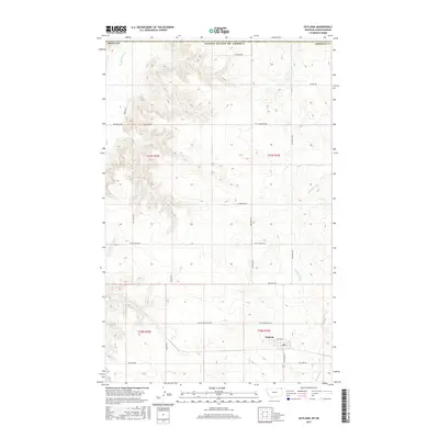
2017 Map of Outlook
USGS Topo · Published 2017About this map
Outlook sits as the primary settlement in this northern Montana landscape, located just south of the international border. The community is organized around the intersection of Outlook Hwy and Soo Line Rd, a name that reflects the historic rail infrastructure that helped shape the development of Sheridan County. The terrain is defined by the winding course of Big Muddy Cr in the northwest and Plentywood Cr to the east, cutting through the high plains and creating the distinct topography of Outlook Bench Rd. A network of rural routes such as Dutch Henry Rd, Hogsback Rd, and Wards Rd connects isolated farmsteads and agricultural plots. The map records the persistence of these named tracks in a region where the land was long ago partitioned by the Public Land Survey System, as seen in the grid boundaries of t37n r53e and its neighbors.
Find a feature on this map
25 named features on this map. Tap any name to fly to it.
Don’t see what you’re looking for? This feature index may not catch every label — zoom into the map to look around manually.
Map Details
Editions of this 2017 Outlook Map
This is the sole edition of this map. No revisions or reprints were ever made.
Other maps of this area
1954 · Wolf Point
USGS Topo · 1:250,000
1958 · Wolf Point
USGS Topo · 1:250,000
1983 · Plentywood NW
USGS Topo · 1:24,000
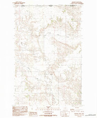
1983 · Daleview
USGS Topo · 1:24,000
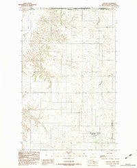
1983 · Outlook
USGS Topo · 1:24,000
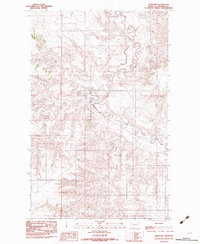
1983 · Redstone
USGS Topo · 1:24,000
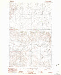
1983 · Archer
USGS Topo · 1:24,000
1983 · Plentywood SW
USGS Topo · 1:24,000
2011 · Plentywood SW
USGS Topo · 1:24,000
2011 · Plentywood NW
USGS Topo · 1:24,000