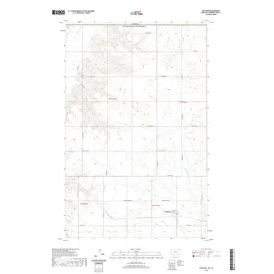
2020 Map of Outlook
USGS Topo · Published 2020About this map
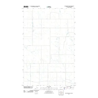
The town of Outlook sits just south of the international boundary between the Canada United States of America, serving as a focal point for this corner of Sheridan County. The landscape is defined by the drainage of Big Muddy Cr in the northwest and Plentywood Cr to the southeast, with a network of local roads such as Hogsback Rd and Dutch Henry Rd connecting scattered homesteads and agricultural tracts. A significant historical marker is the Soo Line Rd, tracing the path of the regional railroad infrastructure that once underpinned the local economy. Within the town limits, a Po and streets like 2nd Ave W indicate a concentrated, though quiet, community hub. The map illustrates the structured grid of the Public Land Survey System, including townships like t37n r52e, which historically organized the settlement and farming of this northern plains region.
Find a feature on this map
25 named features on this map. Tap any name to fly to it.
Don’t see what you’re looking for? This feature index may not catch every label — zoom into the map to look around manually.
Map Details
Editions of this 2020 Outlook Map
This is the sole edition of this map. No revisions or reprints were ever made.
Other maps of this area

1954 · Wolf Point
USGS Topo · 1:250,000

1958 · Wolf Point
USGS Topo · 1:250,000

1983 · Plentywood NW
USGS Topo · 1:24,000
1983 · Daleview
USGS Topo · 1:24,000

1983 · Outlook
USGS Topo · 1:24,000

1983 · Redstone
USGS Topo · 1:24,000

1983 · Archer
USGS Topo · 1:24,000
1983 · Plentywood SW
USGS Topo · 1:24,000
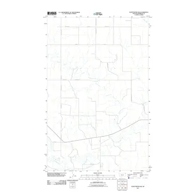
2011 · Plentywood SW
USGS Topo · 1:24,000
2011 · Plentywood NW
USGS Topo · 1:24,000