2024 Map of Outlook
USGS Topo · Published 2024About this map
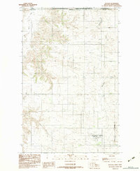
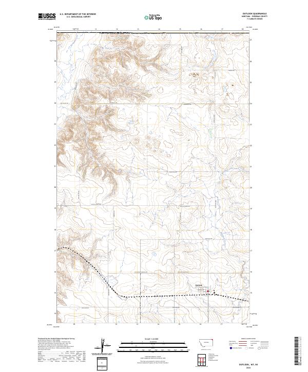
Outlook sits as the primary settlement in this northern Montana landscape, located near the intersection of Soo Line Rd and Outlook Hwy. The terrain is defined by the high, flat expanse of Outlook Bench Rd and the drainage patterns of Big Muddy Creek and Plentywood Creek. The section lines and road network reveal a long history of dryland farming and rural homesteading, with family-named or descriptive routes like Wards Rd, Grants Rd, and Hogsback Rd partitioning the Sheridan County countryside. The presence of the Soo Line Rd corridor reflects the historical importance of rail-aligned transport for this agricultural community, while Dutch Henry Rd and other local paths connect scattered farmsteads across the township grids.
Find a feature on this map
22 named features on this map. Tap any name to fly to it.
Don’t see what you’re looking for? This feature index may not catch every label — zoom into the map to look around manually.
Map Details
Editions of this 2024 Outlook Map
This is the sole edition of this map. No revisions or reprints were ever made.