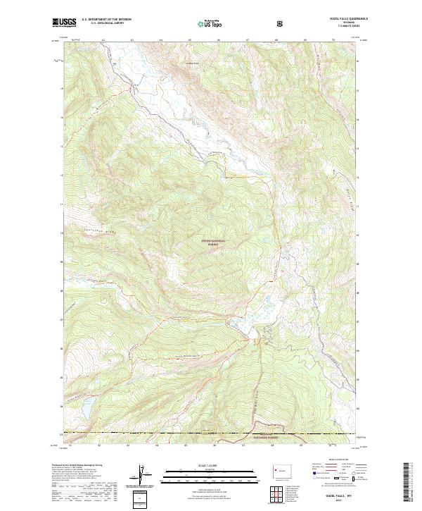
2021 Map of Ouzel Falls
USGS Topo · Published 2021About this map
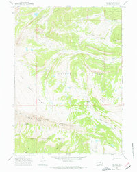
The Gros Ventre Range dominates this corner of the Teton National Forest, where the headwaters of the Gros Ventre River begin their descent through deep basins and over high ridges. The landscape is defined by its network of historic backcountry routes, including the Gros Ventre Road Snowmobile Trl and the Bacon Cr (Pack) Trl, reflecting an era of land management focused on wilderness access and preservation. A small portion of the Snake River Headwaters Wild and Scenic River designation touches this area, highlighting its ecological importance. High-altitude landmarks like Sunday Peak and Sportsman Ridge overlook numerous named drainages such as Lafferty Cr and Big Cow Cr. For researchers and hikers, the map documents the established trail systems leading to remote features like Lunch Lake and through the Little Grizzly Basin, long after the initial forest designations by the Bridger National Forest and its neighbors.
Find a feature on this map
45 named features on this map. Tap any name to fly to it.
Don’t see what you’re looking for? This feature index may not catch every label — zoom into the map to look around manually.
Map Details
Editions of this 2021 Ouzel Falls Map
This is the sole edition of this map. No revisions or reprints were ever made.
Other maps of this area

1902 · Mt Leidy
USGS Topo · 1:125,000

1907 · Gros Ventre
USGS Topo · 1:125,000

1910 · Gros Ventre
USGS Topo · 1:125,000

1955 · Driggs
USGS Topo · 1:250,000

1958 · Driggs
USGS Topo · 1:250,000

1962 · Driggs
USGS Topo · 1:250,000
1965 · Sheridan Pass
USGS Topo · 1:24,000
1965 · Upper Slide Lake
USGS Topo · 1:24,000
1965 · Burnt Mountain
USGS Topo · 1:24,000
1967 · Tosi Peak
USGS Topo · 1:24,000