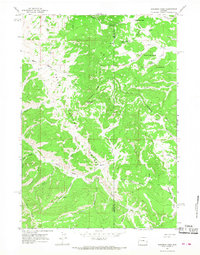
1965 Map of Sheridan Pass
USGS Topo · Published 1968About this map
The Continental Divide serves as the primary geographical axis for this high-altitude survey, marking the boundary where waters part toward different basins. The terrain is divided between the Shoshone National Forest to the east and the Teton National Forest to the west, separated by the Teton and Fremont County line. This 1960s landscape is defined by its lack of established roads, relying instead on a network of Jeep Trails and Pack Trails that navigate the ridges and basins.
Find a feature on this map
38 named features on this map. Tap any name to fly to it.
Don’t see what you’re looking for? This feature index may not catch every label — zoom into the map to look around manually.
Map Details
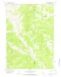
Editions of this 1965 Sheridan Pass Map
2 editions found
Other maps of this area

1902 · Mt Leidy
USGS Topo · 1:125,000

1905 · Younts Peak
USGS Topo · 1:125,000

1907 · Younts Peak
USGS Topo · 1:125,000

1907 · Gros Ventre
USGS Topo · 1:125,000

1909 · Fremont Peak
USGS Topo · 1:125,000

1910 · Gros Ventre
USGS Topo · 1:125,000

1955 · Driggs
USGS Topo · 1:250,000

1955 · Thermopolis
USGS Topo · 1:250,000

1956 · Fish Lake
USGS Topo · 1:24,000

1956 · Kisinger Lakes
USGS Topo · 1:24,000