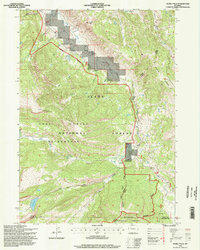
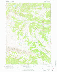
1996 Map of Ouzel Falls
USGS Topo · Published 1998About this map
Ouzel Falls and the headwaters of the Gros Ventre River anchor this high-elevation landscape within the Teton National Forest. Compiled from late-20th-century surveys, the topography illustrates a complex network of drainage systems including Bacon Creek, Dry Fork, and Kinky Creek. The map documents the high ridges that define the region, such as Sportsman Ridge and Bacon Ridge, which overlook isolated water bodies like Lunch Lake and Mud Lake.
Find a feature on this map
29 named features on this map. Tap any name to fly to it.
Don’t see what you’re looking for? This feature index may not catch every label — zoom into the map to look around manually.
Map Details
Editions of this 1996 Ouzel Falls Map
This is the sole edition of this map. No revisions or reprints were ever made.
Other maps of this area

1902 · Mt Leidy
USGS Topo · 1:125,000

1907 · Gros Ventre
USGS Topo · 1:125,000

1910 · Gros Ventre
USGS Topo · 1:125,000

1955 · Driggs
USGS Topo · 1:250,000

1958 · Driggs
USGS Topo · 1:250,000

1962 · Driggs
USGS Topo · 1:250,000
1965 · Sheridan Pass
USGS Topo · 1:24,000
1965 · Upper Slide Lake
USGS Topo · 1:24,000
1965 · Burnt Mountain
USGS Topo · 1:24,000
1967 · Tosi Peak
USGS Topo · 1:24,000