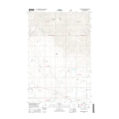
2014 Map of Ovando Mountain
USGS Topo · Published 2014About this map
Ovando and the settlement of Geary occupy the lower elevations of this Powell County landscape, where the North Fork Blackfoot River and Rock Cr meet. The geography is defined by the transition from high peaks like Ovando Mtn and McCabe Mountain down to the productive agricultural lands of Kleinschmidt Flat. This 2014 survey reveals an intricate network of water management, including the Jacobsen Ditch, Murphy Ditch, and Hoffland Lateral, which support the ranching operations near Jacobsen Spring.
Find a feature on this map
49 named features on this map. Tap any name to fly to it.
Don’t see what you’re looking for? This feature index may not catch every label — zoom into the map to look around manually.
Map Details
Editions of this 2014 Ovando Mountain Map
This is the sole edition of this map. No revisions or reprints were ever made.
Other maps of this area
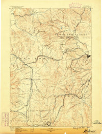
1889 · Helena
USGS Topo · 1:250,000
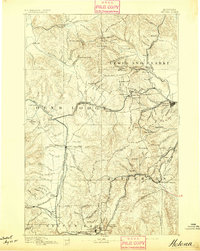
1893 · Helena
USGS Topo · 1:250,000
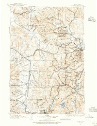
1899 · Helena
USGS Topo · 1:250,000
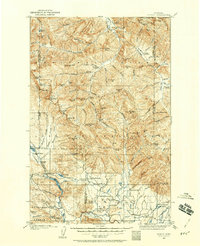
1902 · Ovando
USGS Topo · 1:125,000
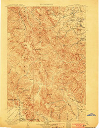
1903 · Coopers Lake
USGS Topo · 1:125,000
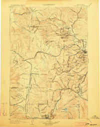
1903 · Helena
USGS Topo · 1:250,000
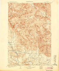
1905 · Ovando
USGS Topo · 1:125,000
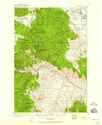
1919 · Drummond
USGS Topo · 1:125,000
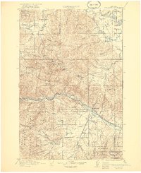
1921 · Drummond
USGS Topo · 1:125,000

1947 · Butte
USGS Topo · 1:250,000